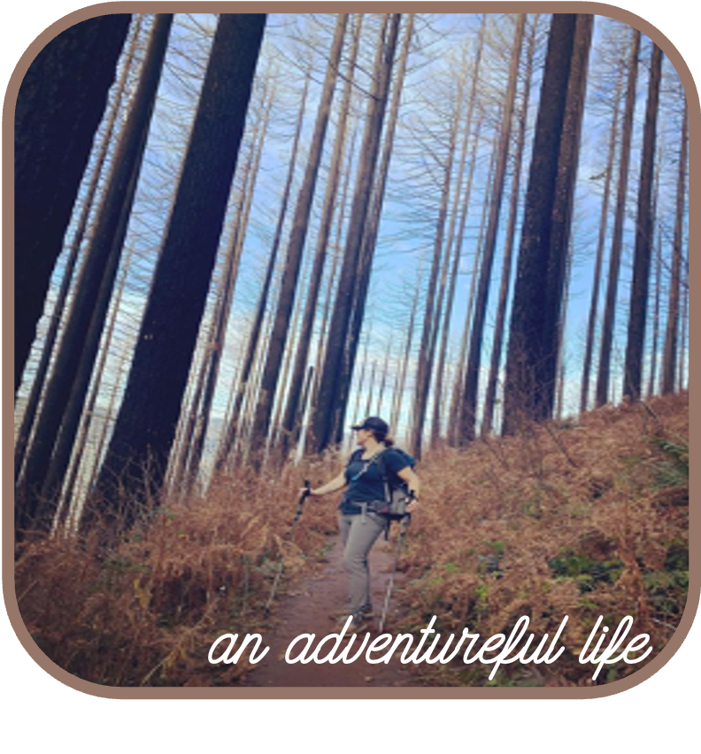
I was born and raised in Oregon, and yet there are many parts of Oregon I still haven’t been to! One of those places I have always been extremely curious about is the Eagle Cap Wilderness in Northeastern Oregon. Nearly 6 hours from Portland, I would venture to guess most Oregonians have never made their way to that corner of our state. I scoured the interwebs for more information on this area, and tried to get my hands on any guides I could find (news flash… there aren’t many!). I wouldn’t say the Wallowas are a total secret, but because this area is so far away from basically everywhere else… it just doesn’t get as much attention. Turns out, this is a really good thing!
The Eagle Cap Wilderness is within the Wallowa Mountains in northeastern Oregon, and lovingly call the “Swiss Alps” of Oregon. This area was home to the Nez Perce Indian Tribe, the Cayuse, the Shoshone, the Bannocks, and later the summer home to the Joseph Band of the Nez Perce tribe up until the late 1800s.
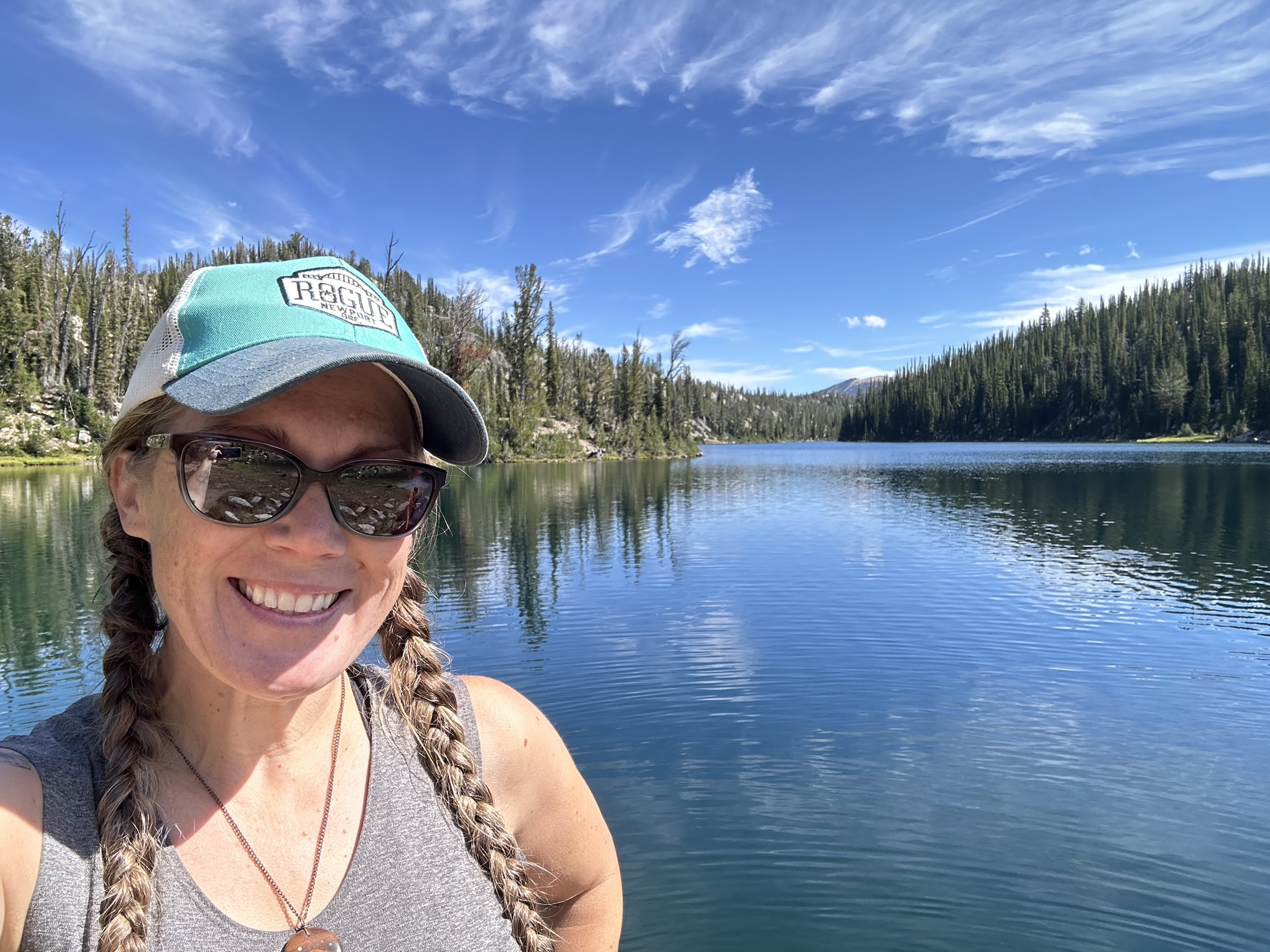
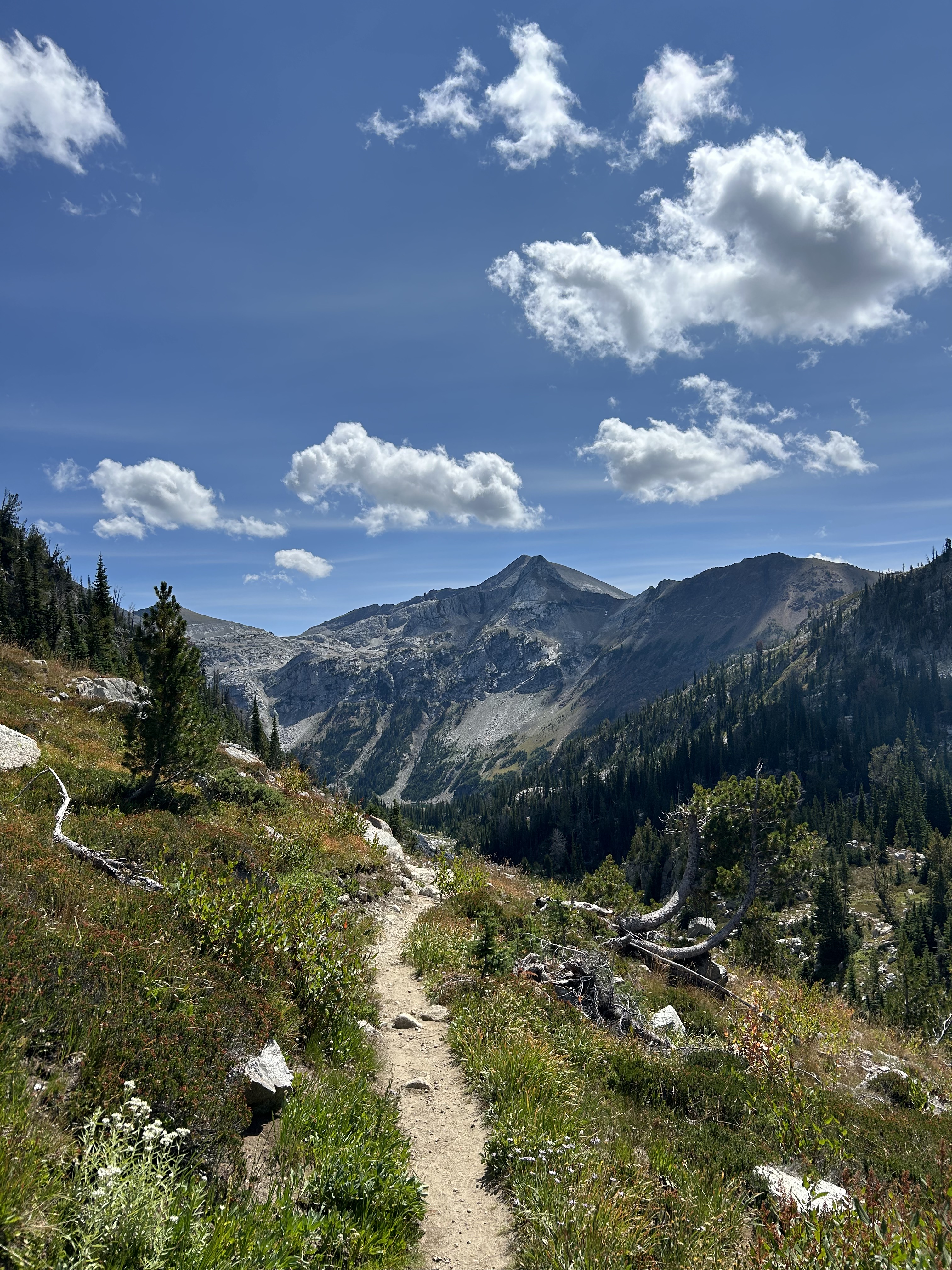
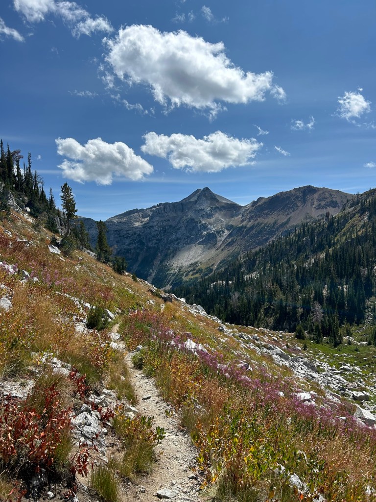
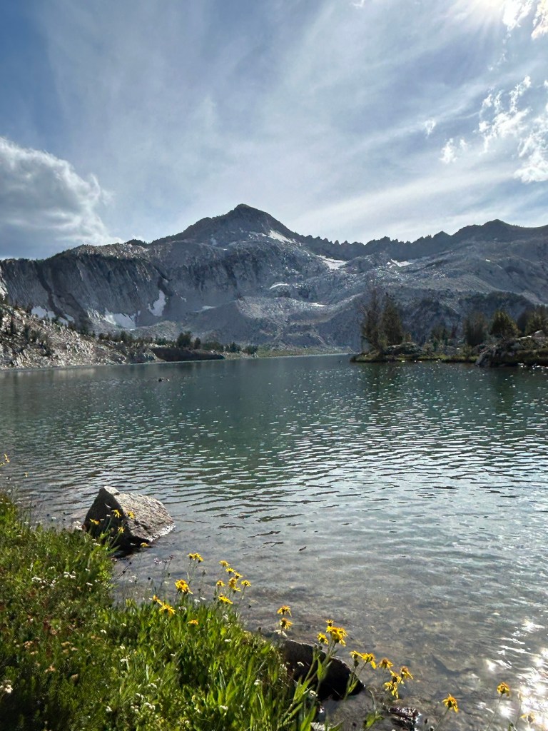
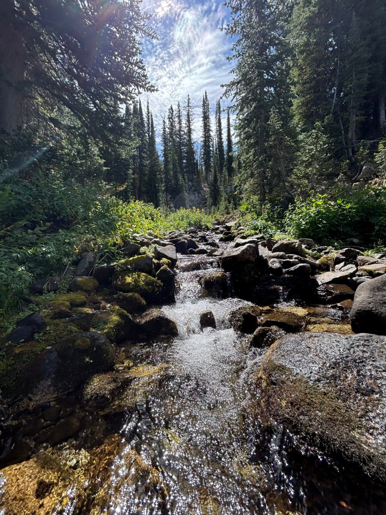
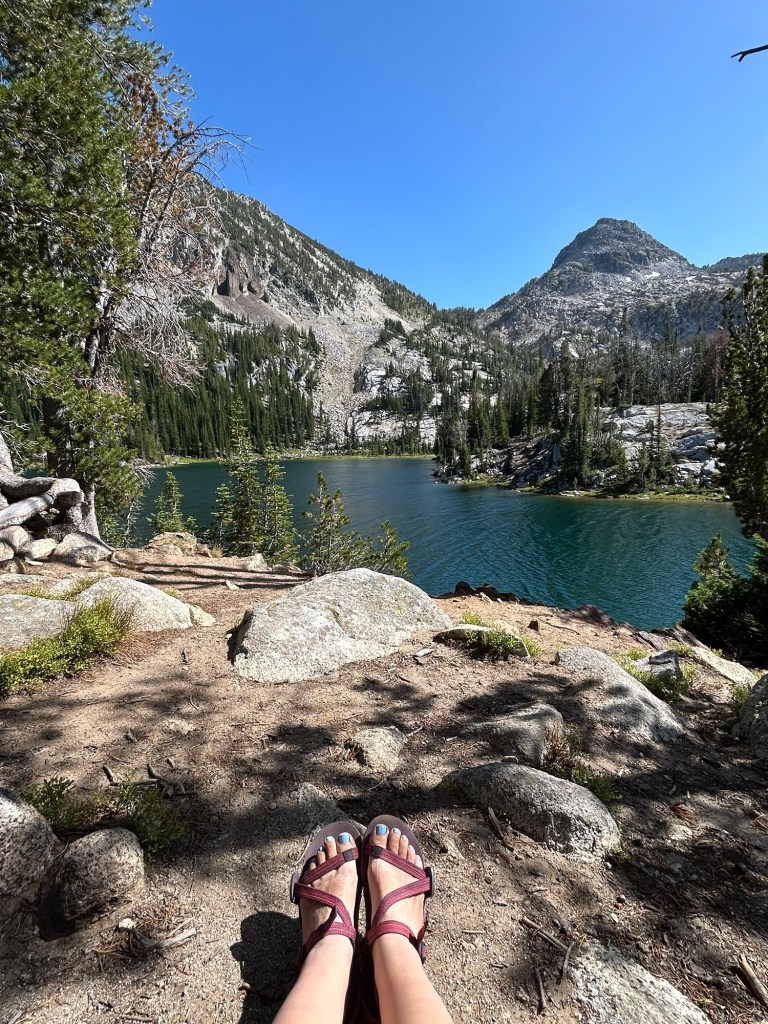
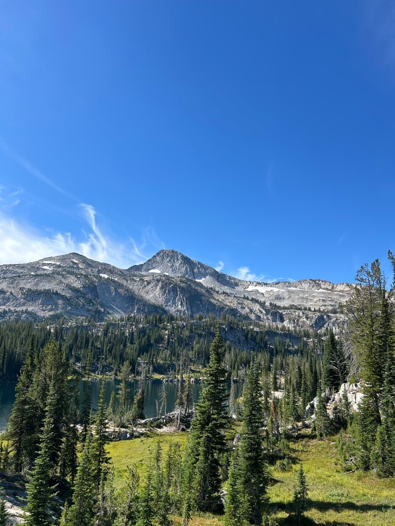
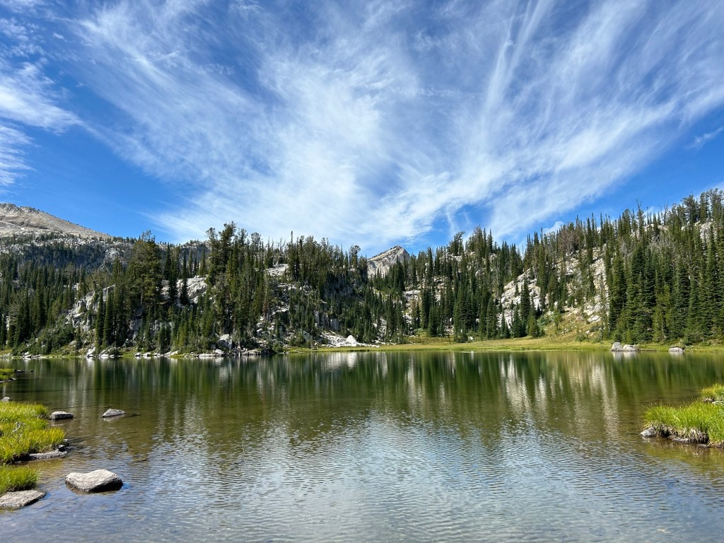
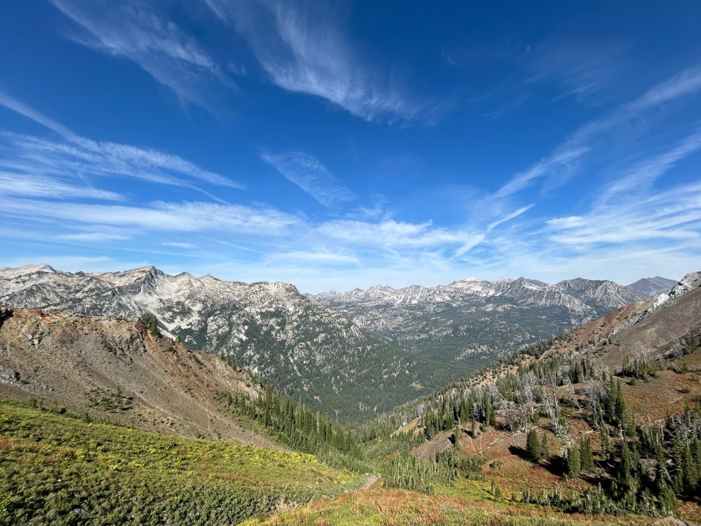
Eagle Cap was designated as a wilderness area in 1940 and now totals 359,991 acres. This area is geologically stunning, filled with azure alpine lakes, luscious flower filled meadows, imposing granite peaks, and valleys carved by glaciers. As I backpacked through the literal highs and lows, I was stunned to tears with the beauty. With the higher elevations, you also get more severe and extreme weather phenomenon, and of course… the every presentthreat of fire. We were so lucky to have gorgeous, sunny filled days for our entire 6 days in the wilderness area without a mosquito to be seen.
This is a choose your own adventure place to backpack – there are so many options!! We chose to make a big loop so that we could hit several of the alpine lakes, challenge ourselves by going up (not down) Polaris Pass, and have the option to summit Matterhorn (which we didn’t end up doing). There are numerous trailheads to access the Eagle Cap Wilderness and so many lakes and trails to explore. I definitely plan to come back and explore more and maybe do a summit (or two).

Despite not seeing a ton of people, we still saw evidence of people. I recommend that if you plan on recreating out here (or anywhere!) do you research and understand the basic principals of Leave No Trace. Each of the trailheads have wonderful signage explaining the dos and don’ts (and why!!), so PLEASE pack out all of your trash… don’t leave your wet wipes that take 100 years to breakdown out in the backcountry, don’t camp on the fragile alpine meadow or right next to the lake, and don’t make fires during fire bans or where you aren’t allowed to make fires within the Lakes Basin area. When you pick up your free permit at the trailhead, it explains everything… so just take a look, and then enjoy your adventure (safely and responsibly).
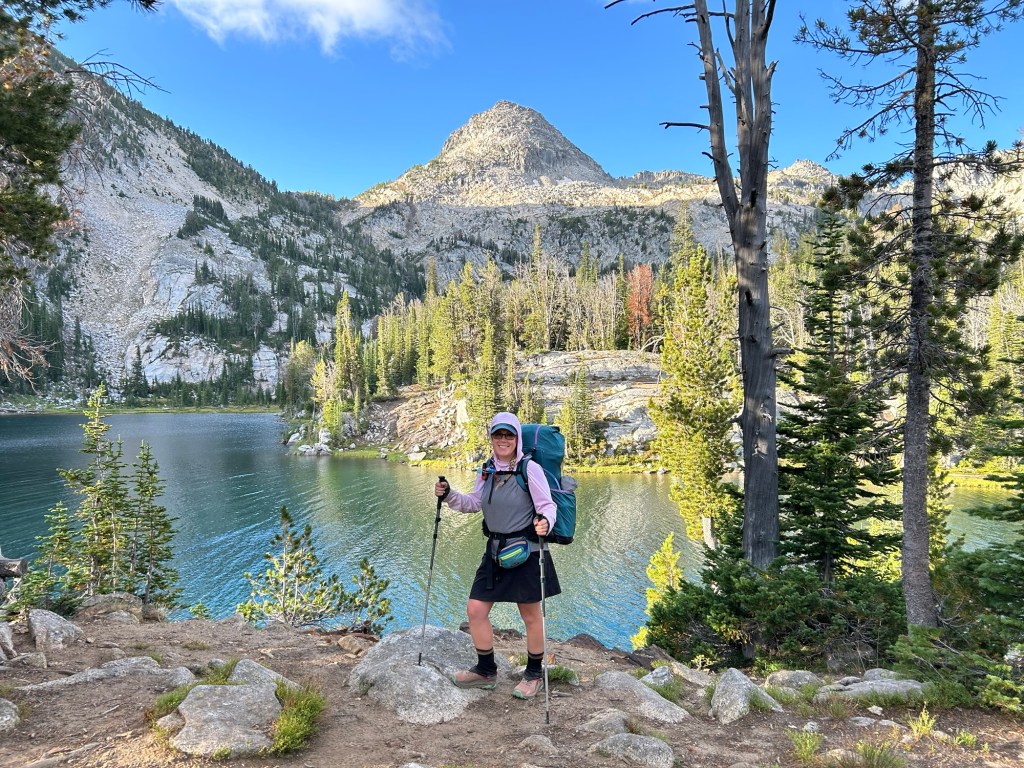
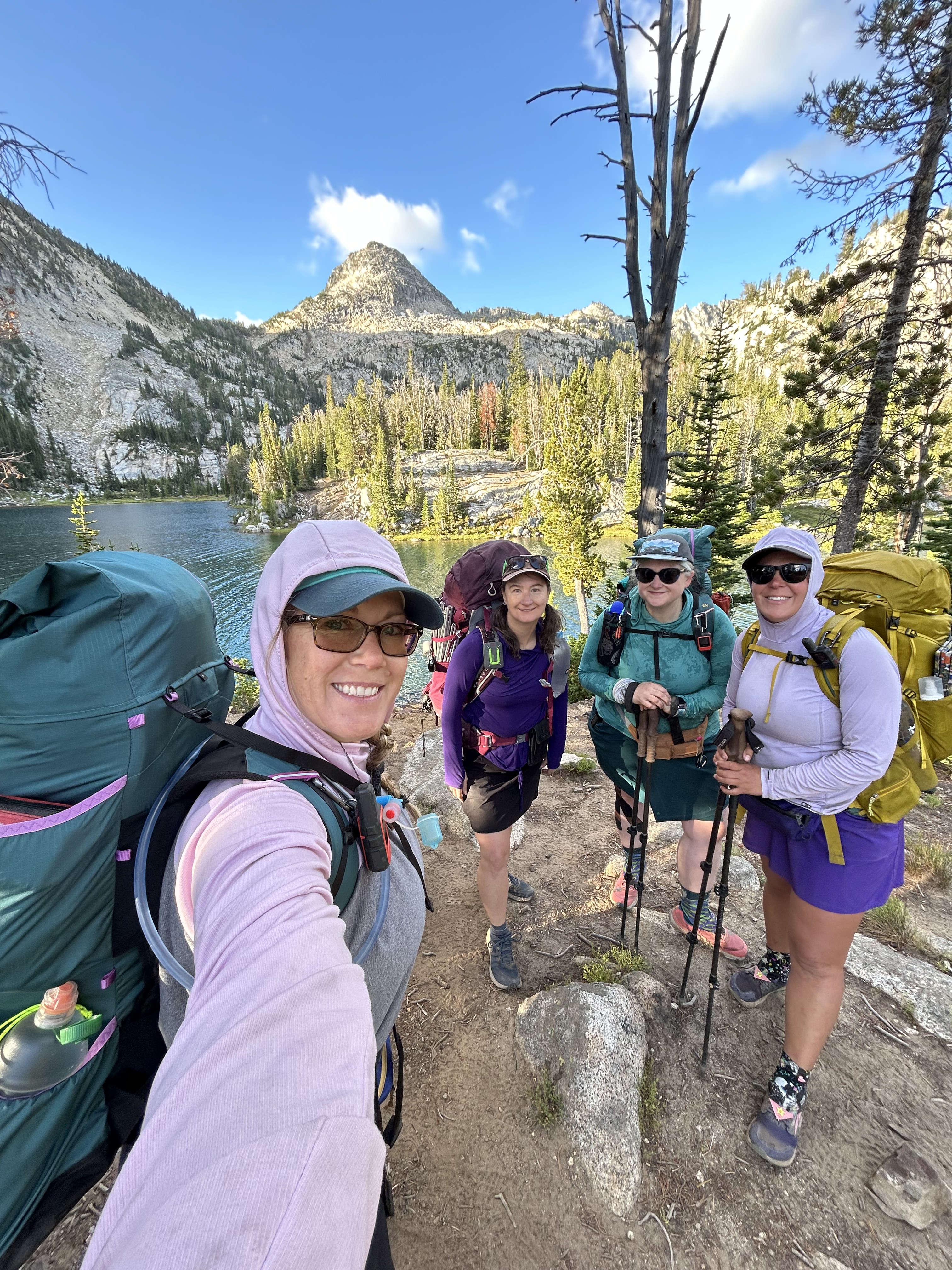
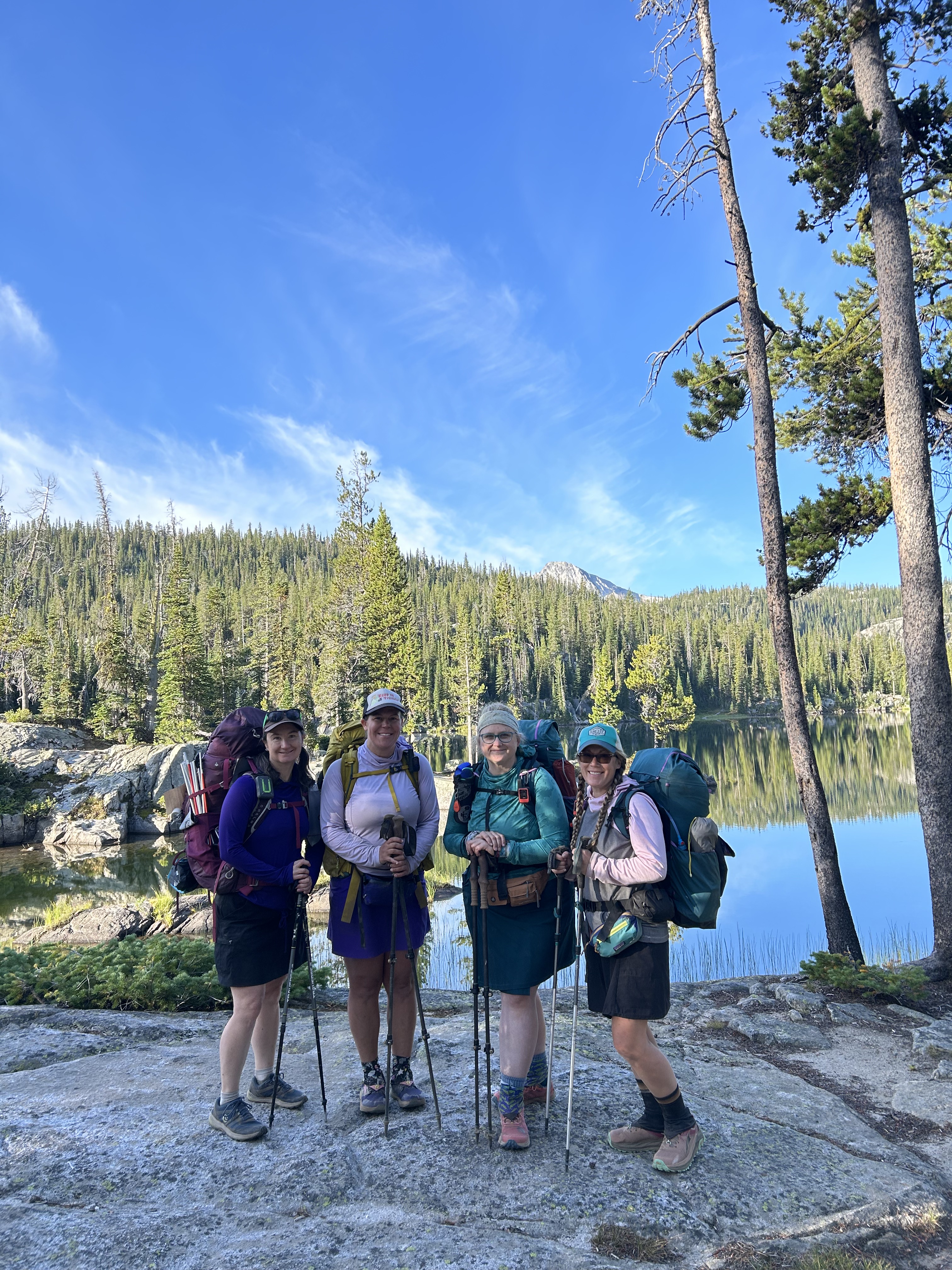
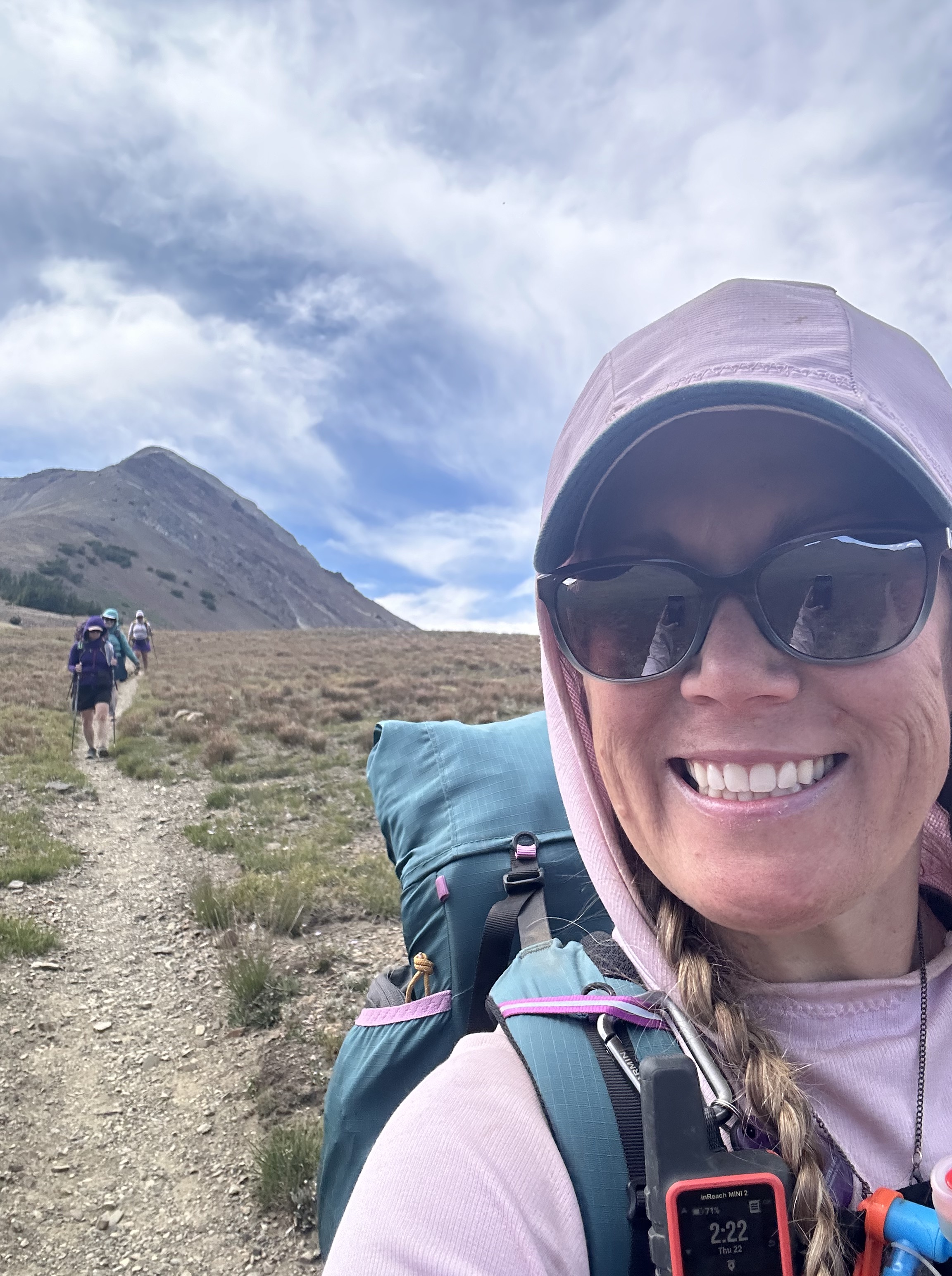
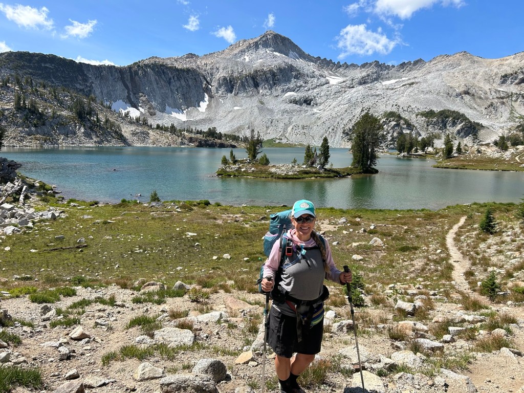
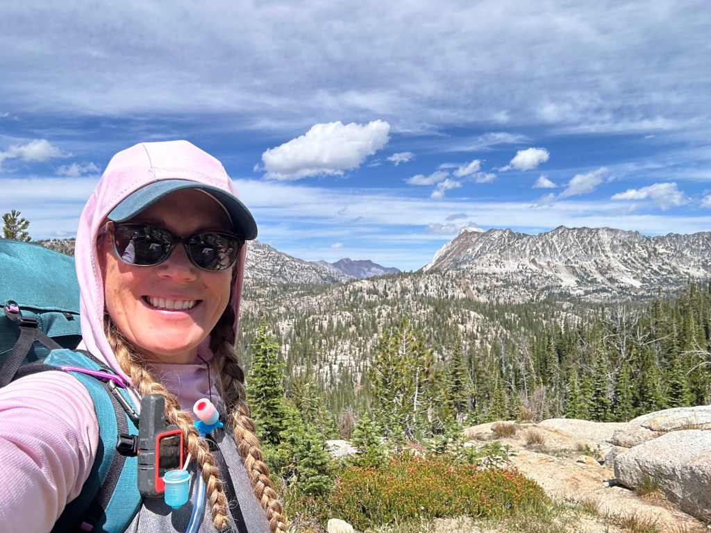
For our trip, we drove from Portland, OR to Joseph, OR. We stopped a pizza dinner at Embers Brewhouse in downtown Joseph before camping out at Wallowa Lake State Park Campground. It would be our last night with showers, running water, and toilets for almost a week! We got up early and packed up… making sure to bring our foil wrapped leftover pizza from dinner. We drove up to to the trailhead to park and do one last minute “weighing” of the packed bags and find a lovely stranger to take our group photo (thank you!). If you are interested… my pack was 35.5 lbs with 2 liters of water and 5.5 days worth of packed food, plus… quite a few luxury items! I love the challenge of backpacking, and I also love the luxury of a chair by an alpine lake!

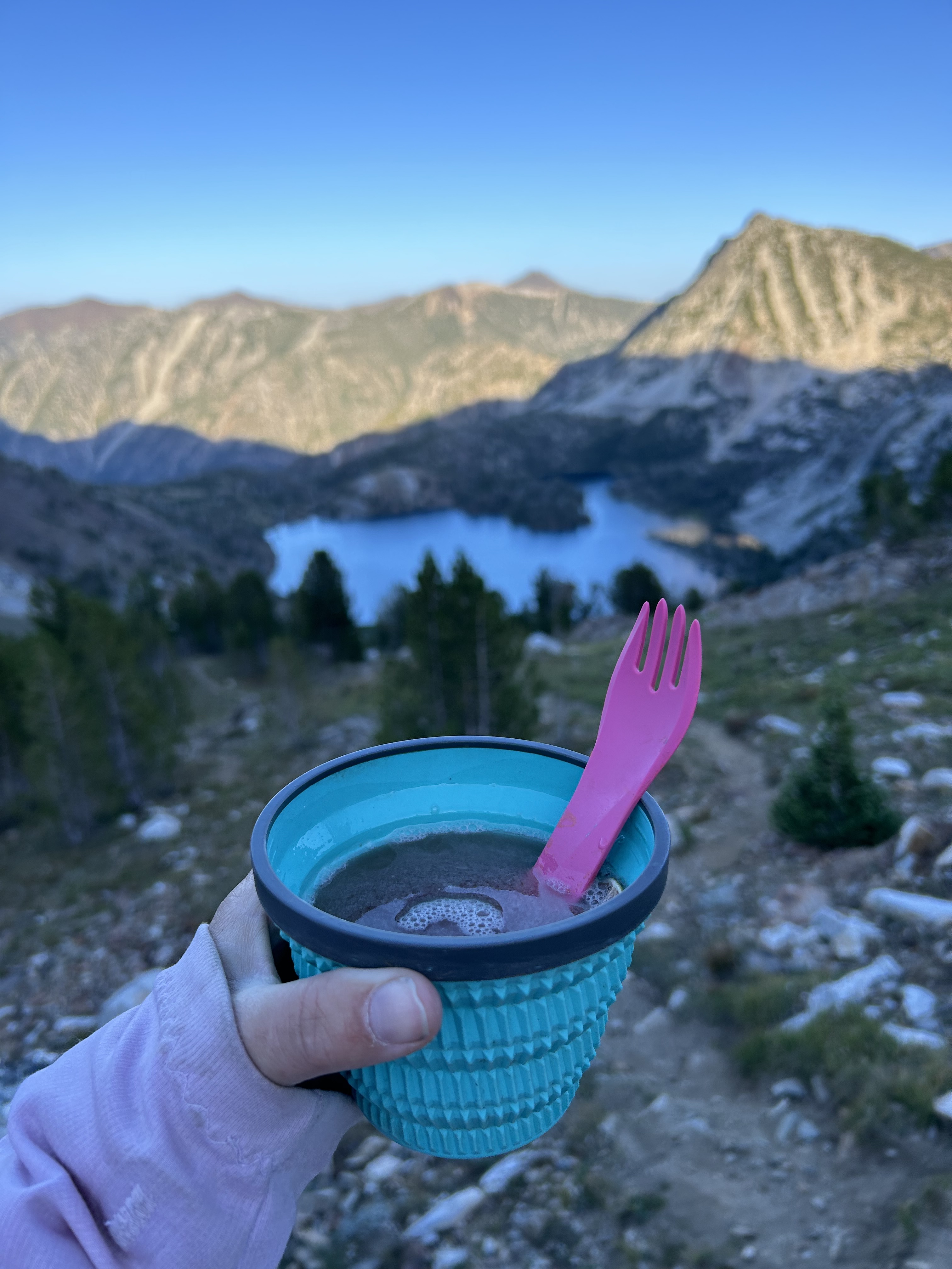
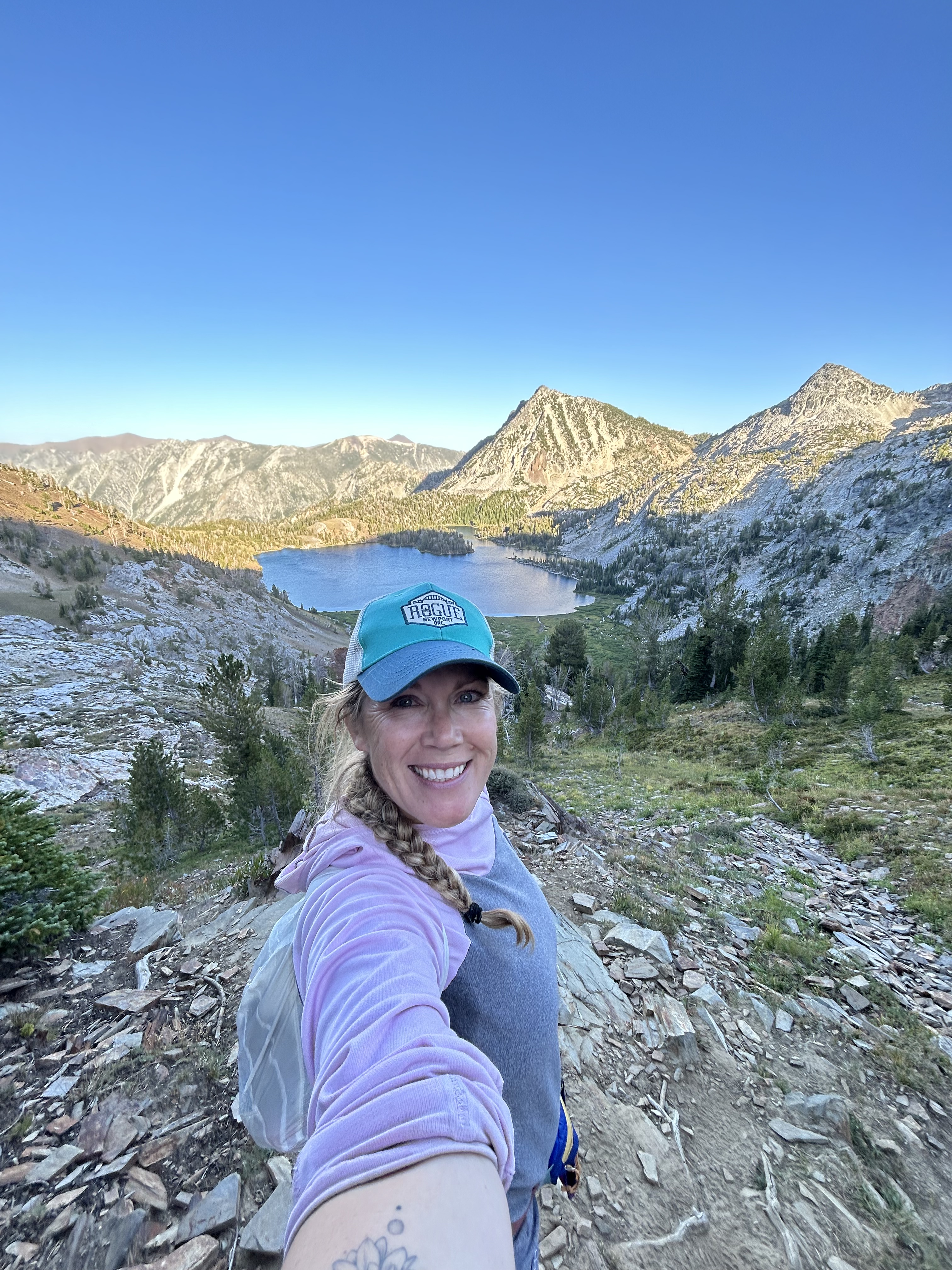
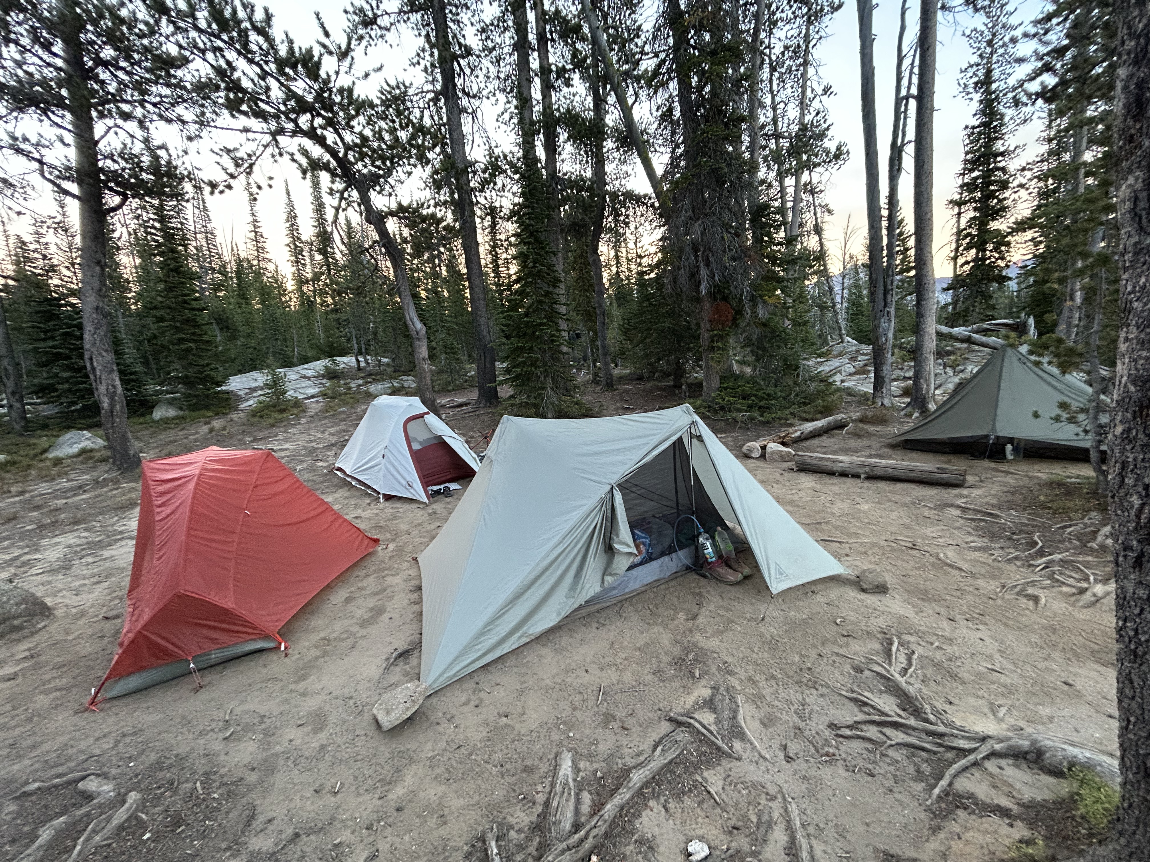
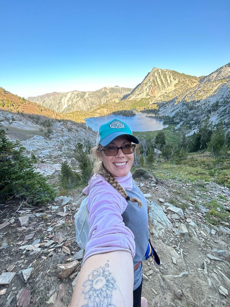
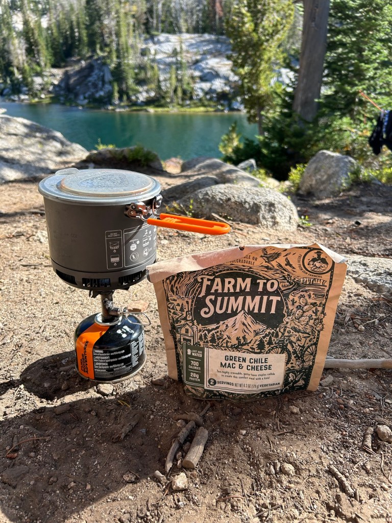
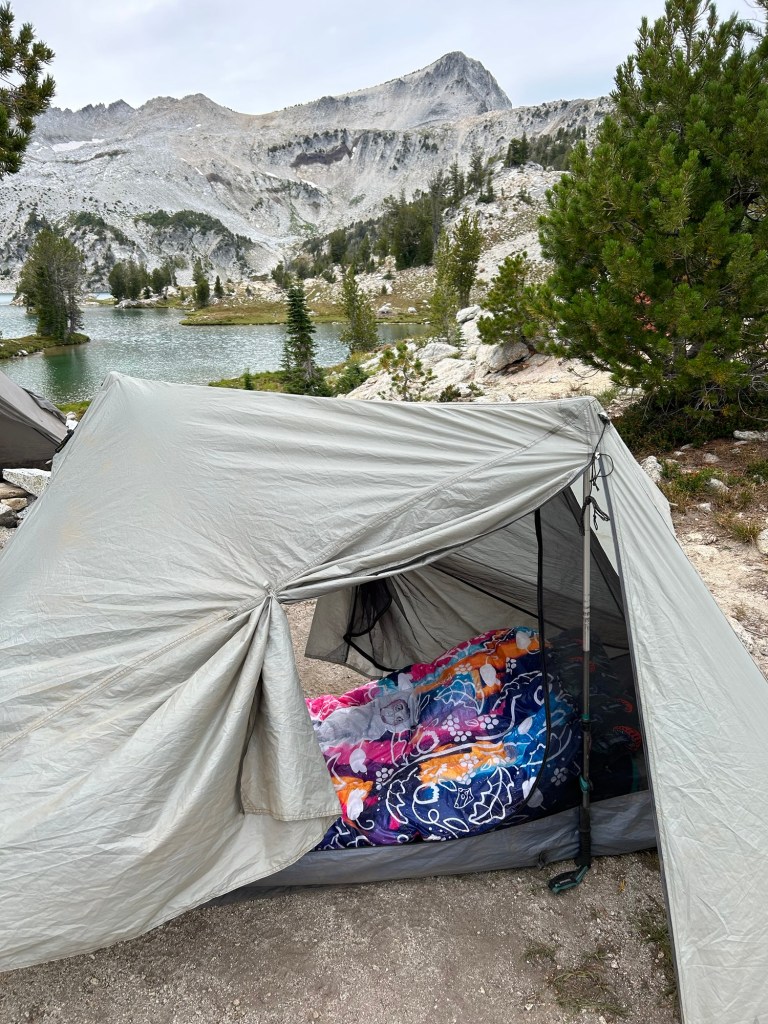
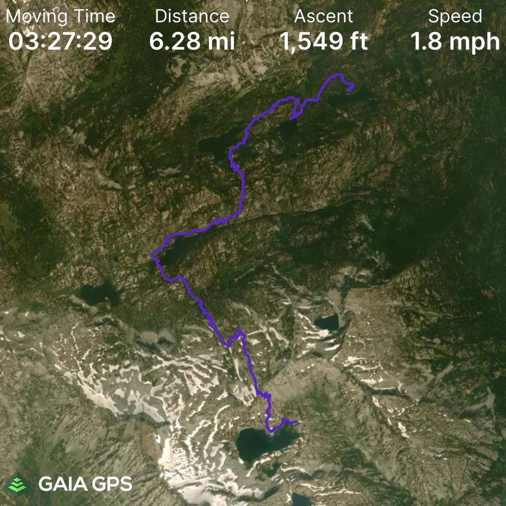
Our first day, we hiked from Wallowa Lake Trailhead up to Ice Lake (8 miles). We considered attempting to summit Matterhorn for an addition 2+ miles (each way), but ran out of daylight because obviously we had to swim in the lake first! After our swim, we sent up camp and then I inhaled my Farm to Summit Green Chile Mac n Cheese (yes, I am a Farm to Summit Ambassador – but seriously… give this meal a try!). After dinner, I thought… why not attempt to hike up two miles to summit Matterhorn for sundown cocktails? Well… two miles straight up is a challenging feat anytime of day… let alone at dusk. So, after a mile, we decided we had a good enough view of Ice Lake and called it a day. It was a good choice, because we made it back to camp before it got too dark, and saved that summit for a future adventure.

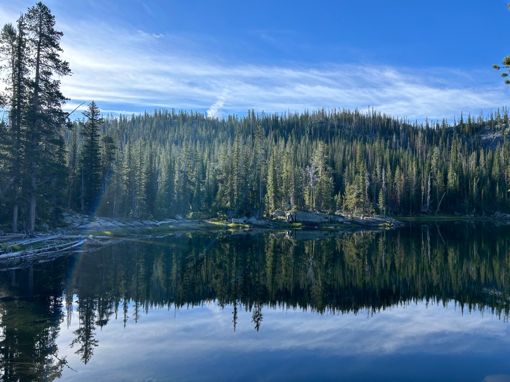
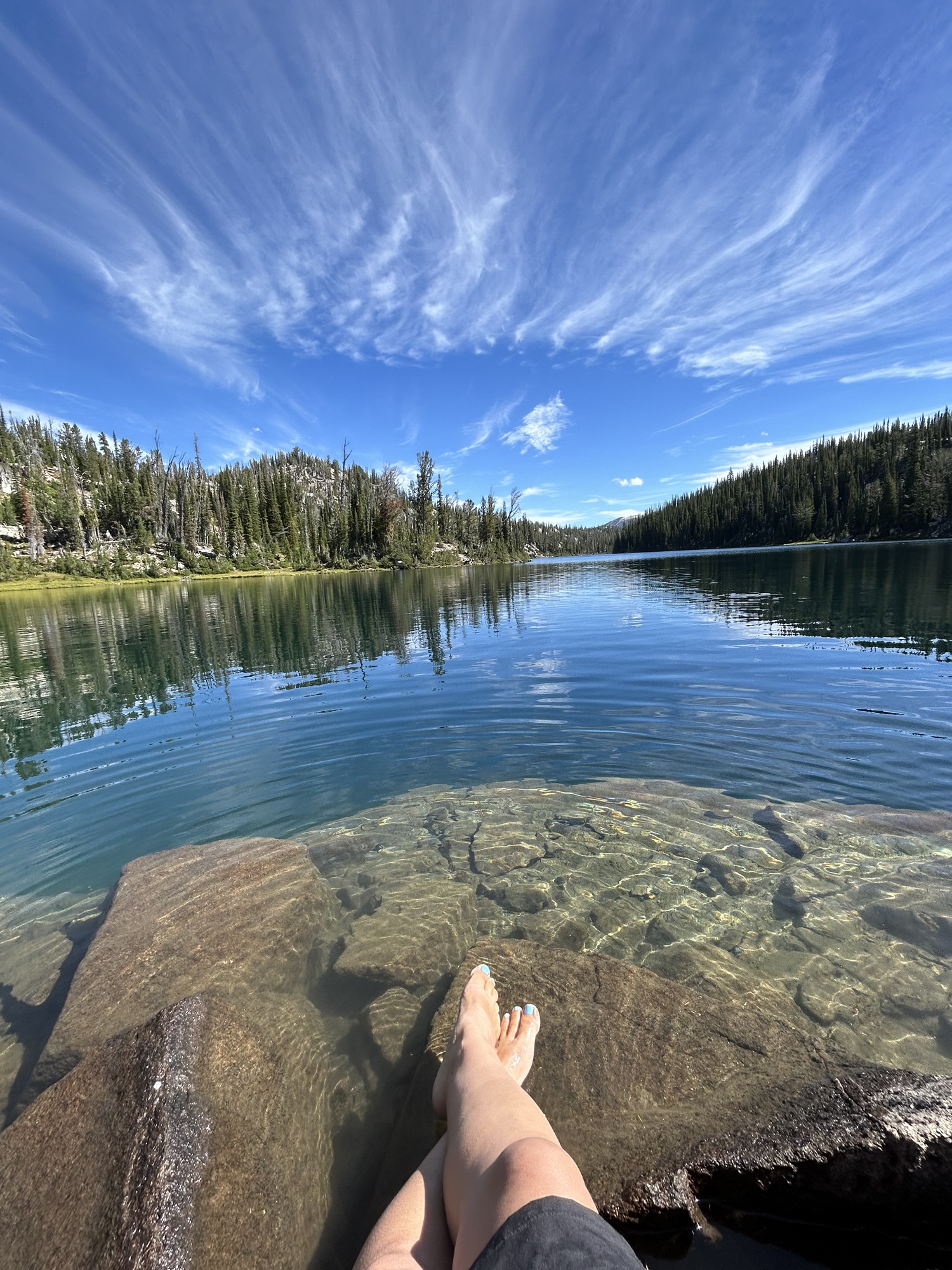
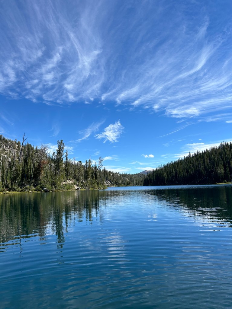
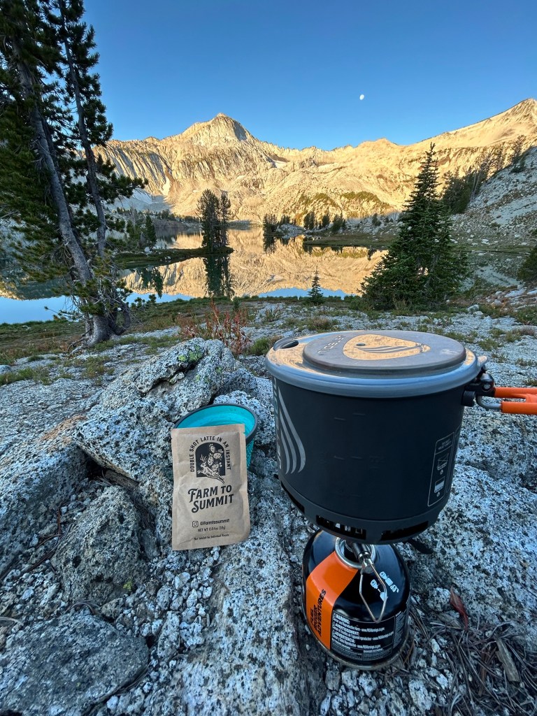
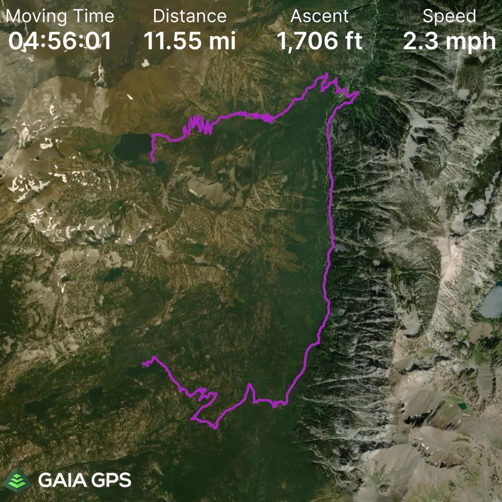
We woke up bright and early on day 2 to enjoy our beverage of choice as the sun rose and the moon set. We knew today would be a longer day. We had to hike back down to the main trail, through 6 mile meadow, and then back up into the Lakes Basin. It was a long, but beautiful trek, just over 11.5 miles. When we finally arrived at Horseshoe Lake, I tossed everything on the ground and strode into the lake for another epic swim. Horseshoe Lake is not quite as pristine as Ice Lake, but it’s very swimmable and we enjoyed lounging along the rocks. Our wet clothes strung up on an impromptu clothesline really brought a smile to may face. It was a little breezy, which was great for drying us off – but my gear was quite dusty after the second day.
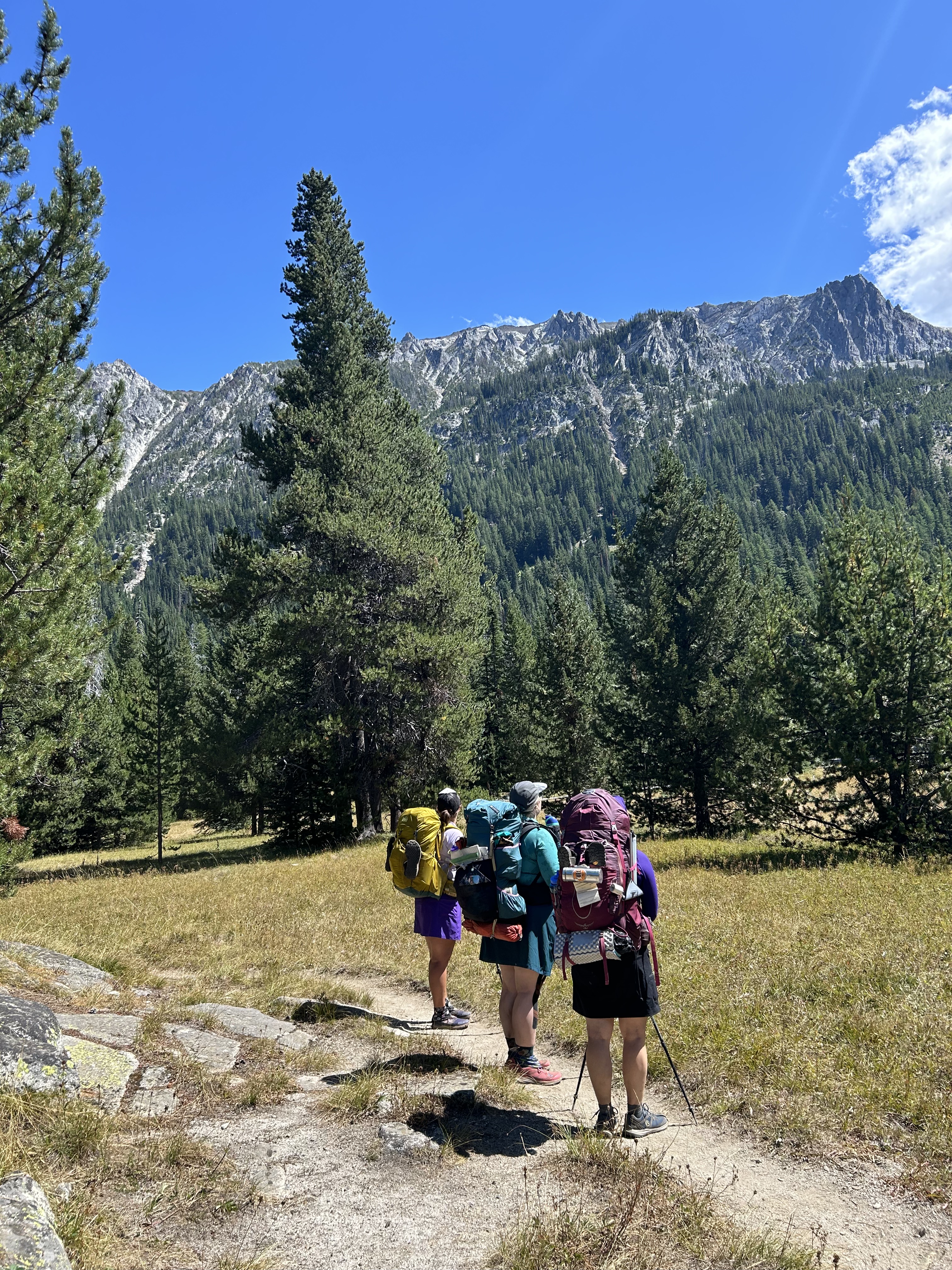
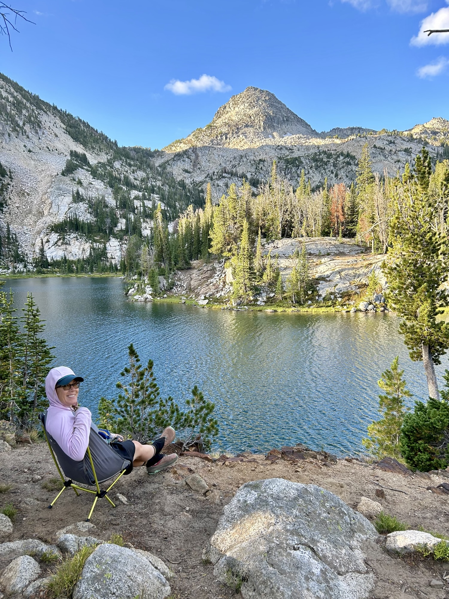
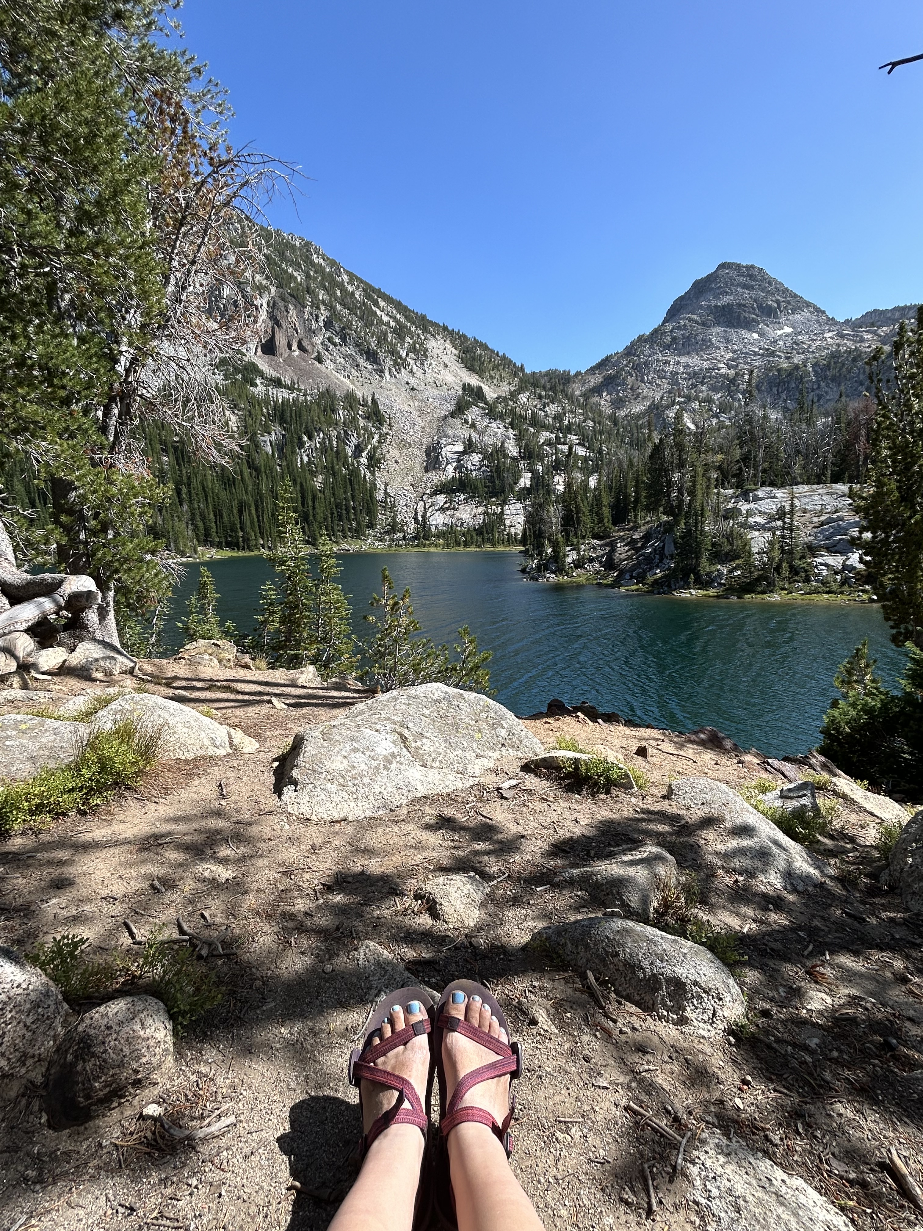
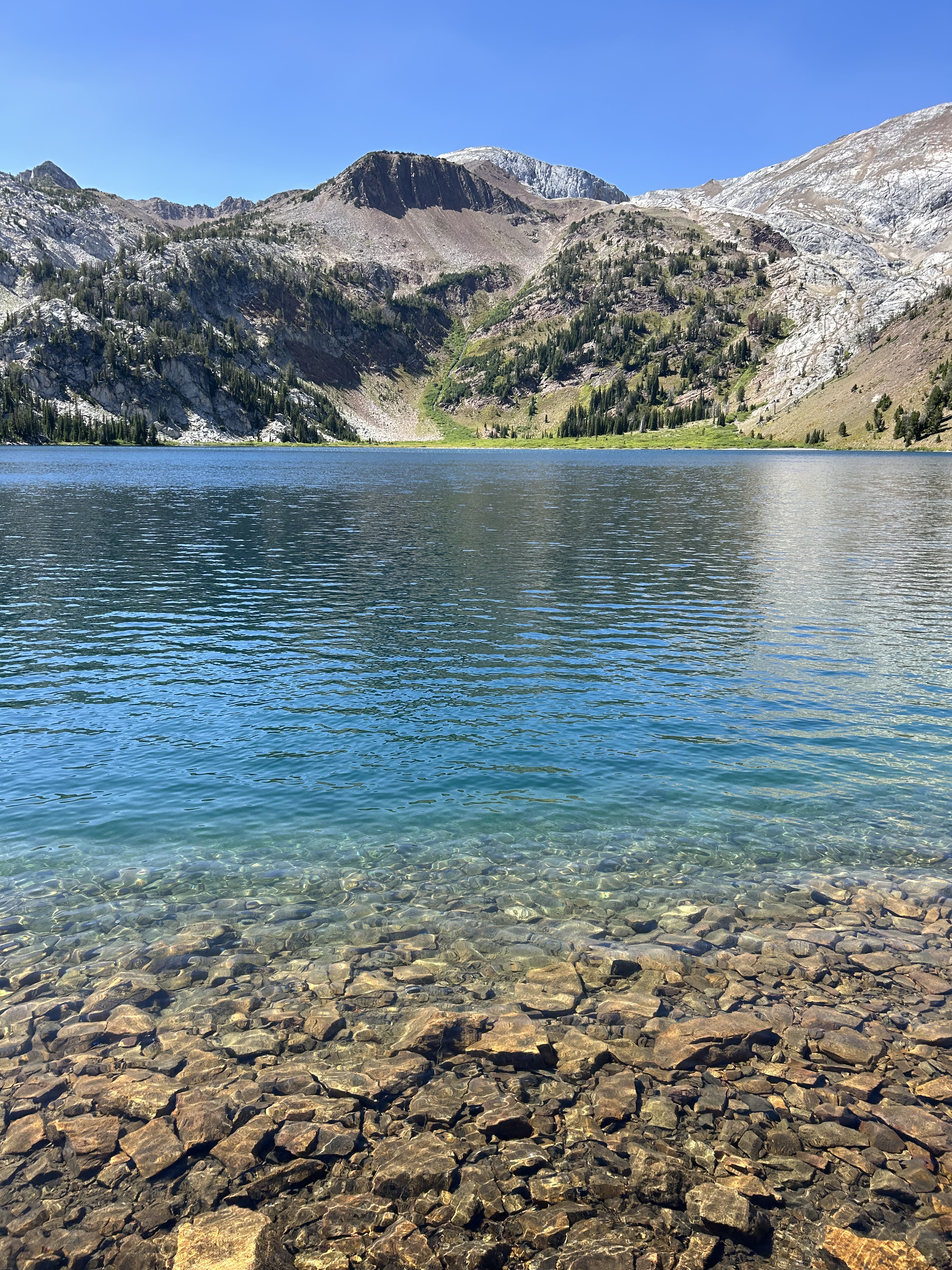
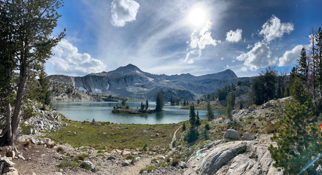
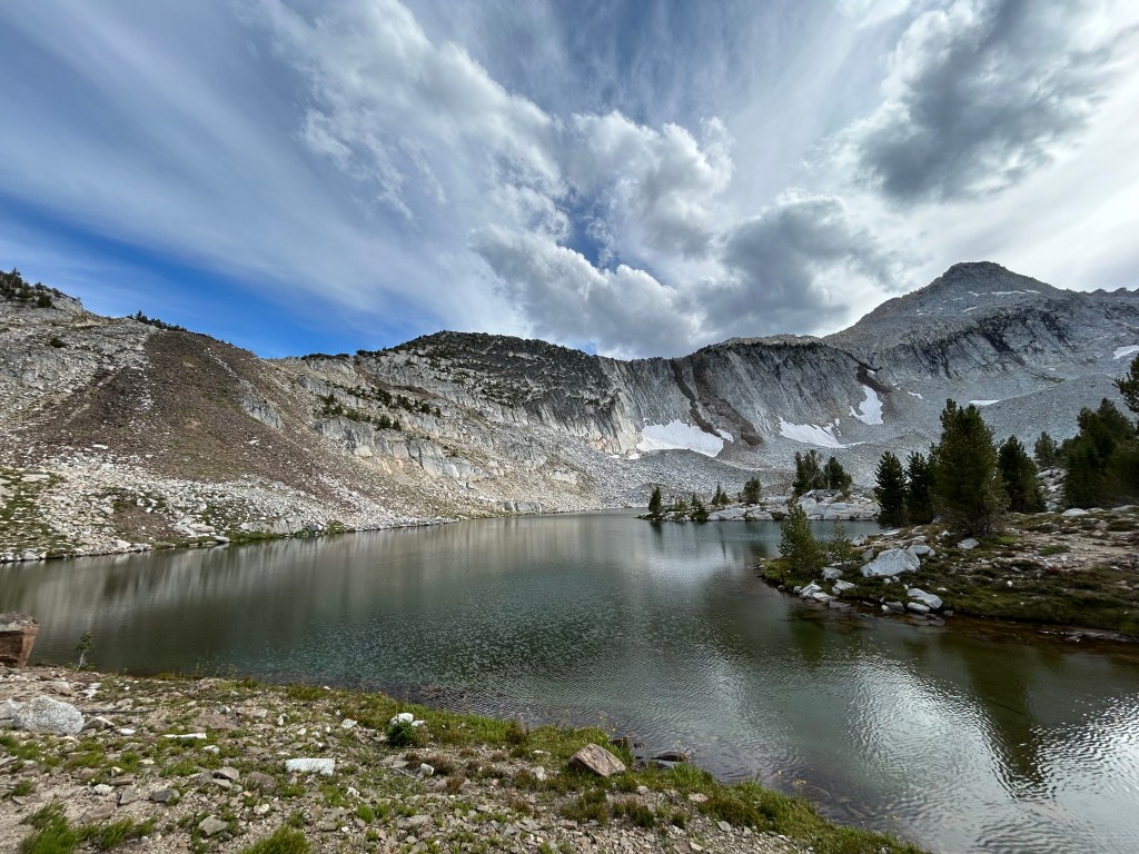
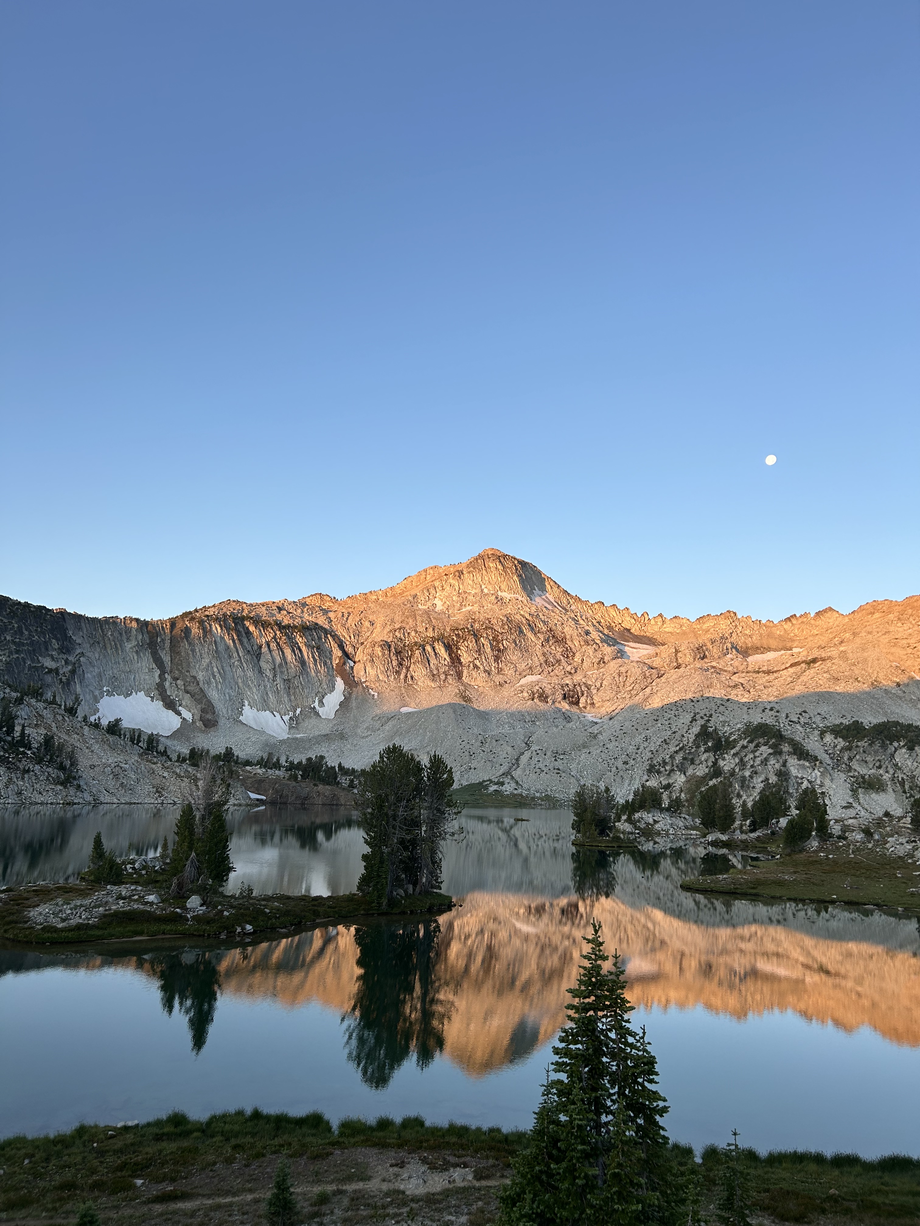
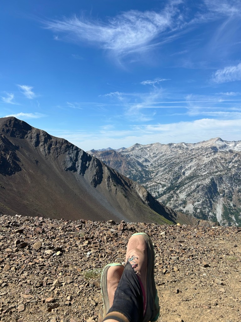
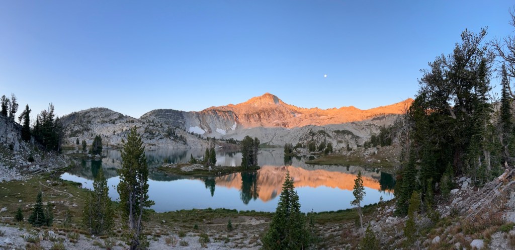
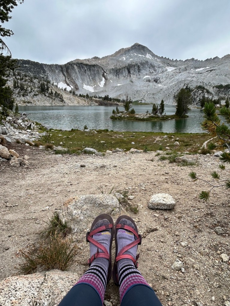
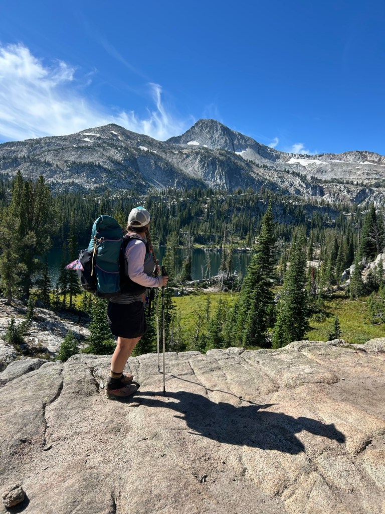
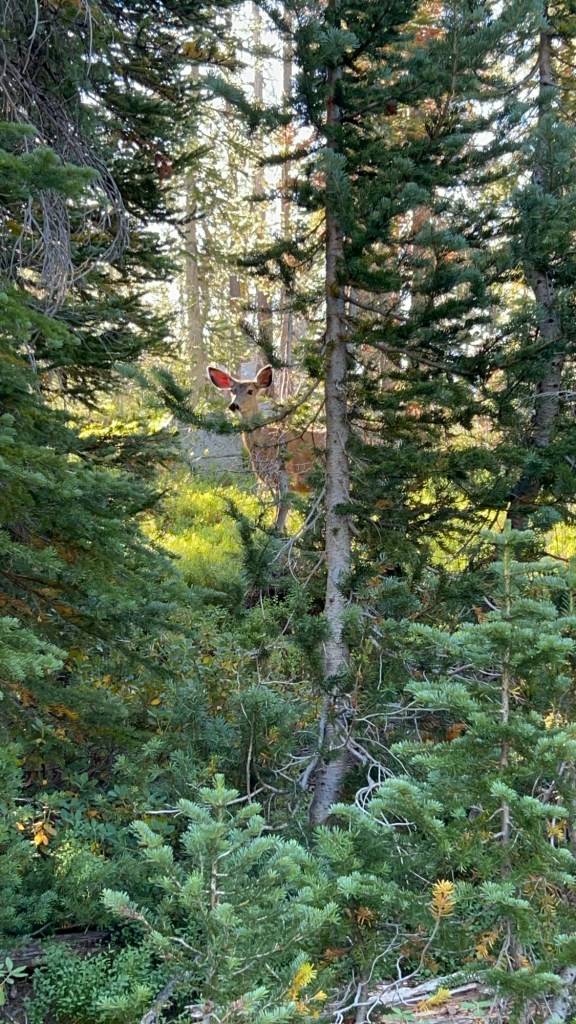
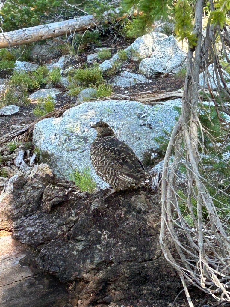
Day 3 was another day I was really looking forward to… we were going through the Lakes Basin and up to Glacier Lake for a total of 6.3 miles. We saw a momma grouse and her babies, and some deer along the way. We hiked past Lee Lake, Douglas Lake, and finally made it to a viewpoint overlooking Moccasin Lake where we stopped for snacks. We hiked around Moccasin Lake to some really cool (although exposed) campsites, and then around to the most epic swim spot I’ve ever seen… it was 10am and time for second breakfast and a swim!! Swimming before tackling Glacier Pass was the best decision I’ve ever made… we were nice and cool as we trekked through the flower filled meadows and then up and over Glacier Lake Summit (8,500′). By the time we climbed back down to Glacier Lake, we were nice and dry (and with the wind and cooler temps … not hot at all).

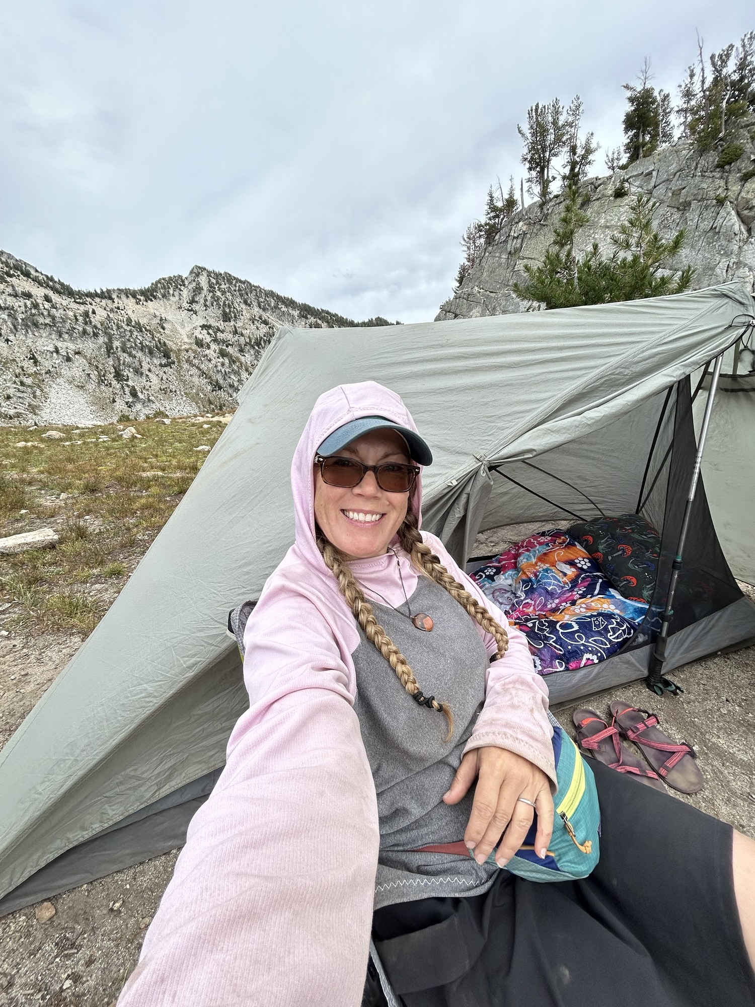
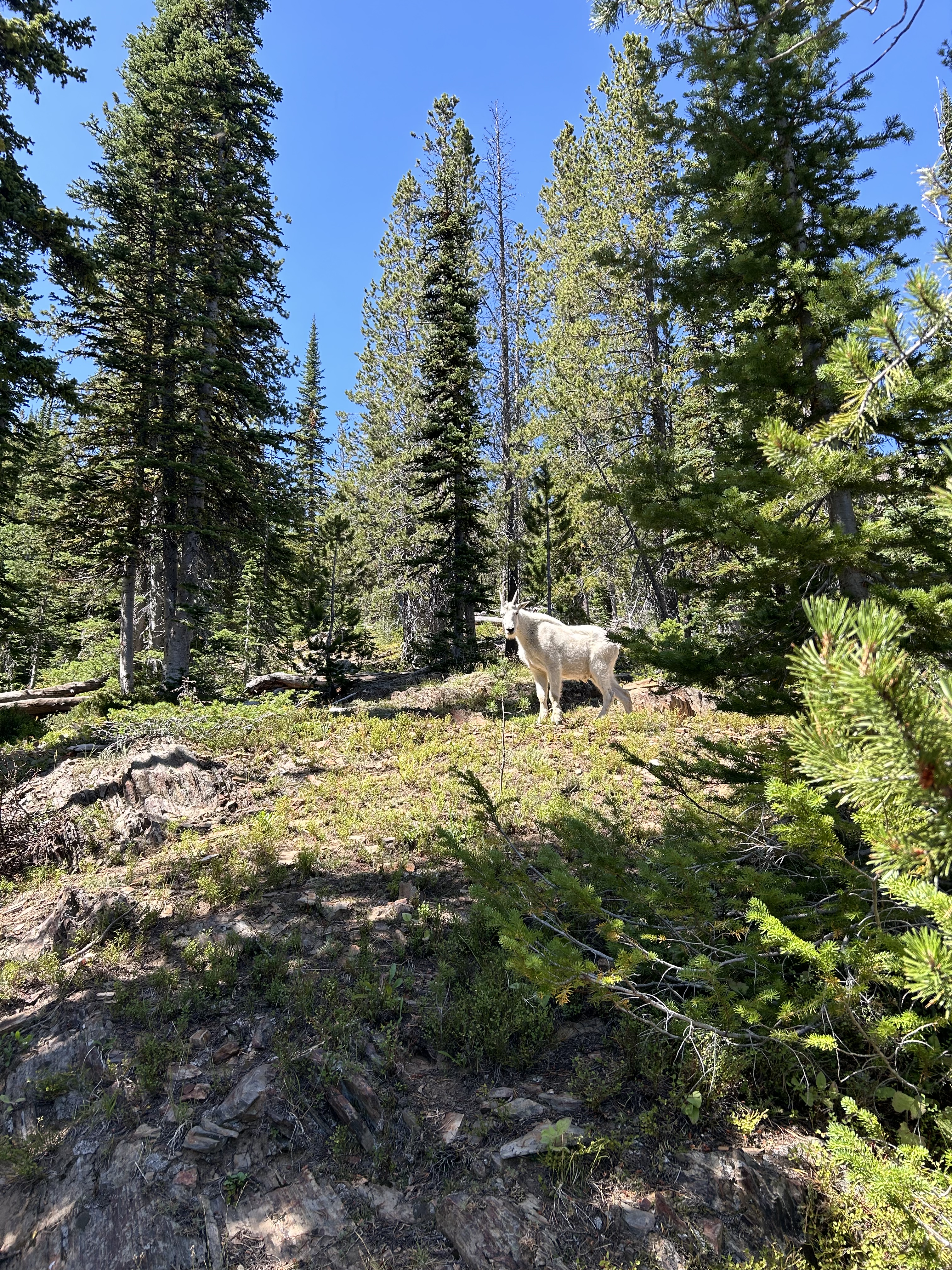
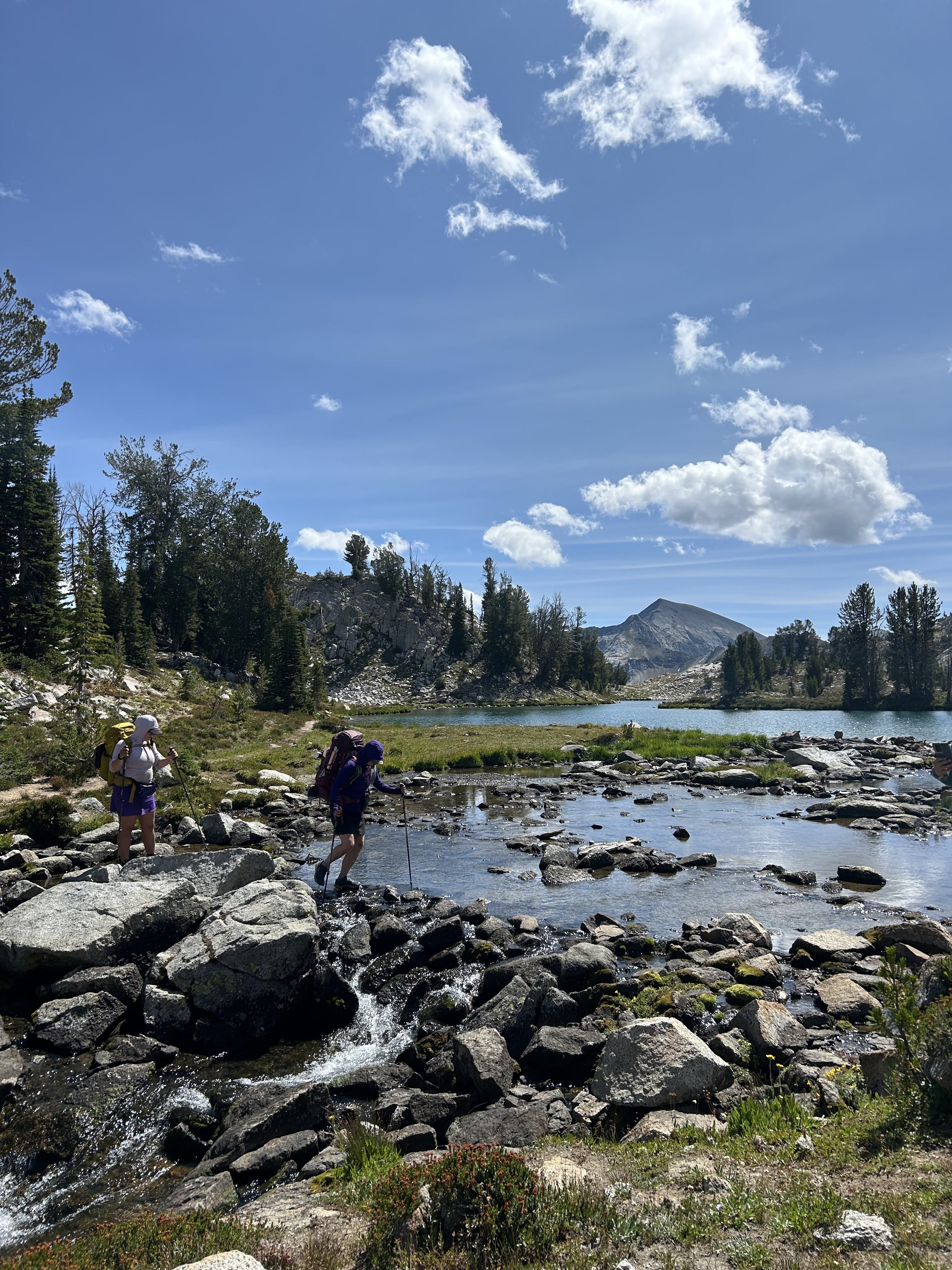
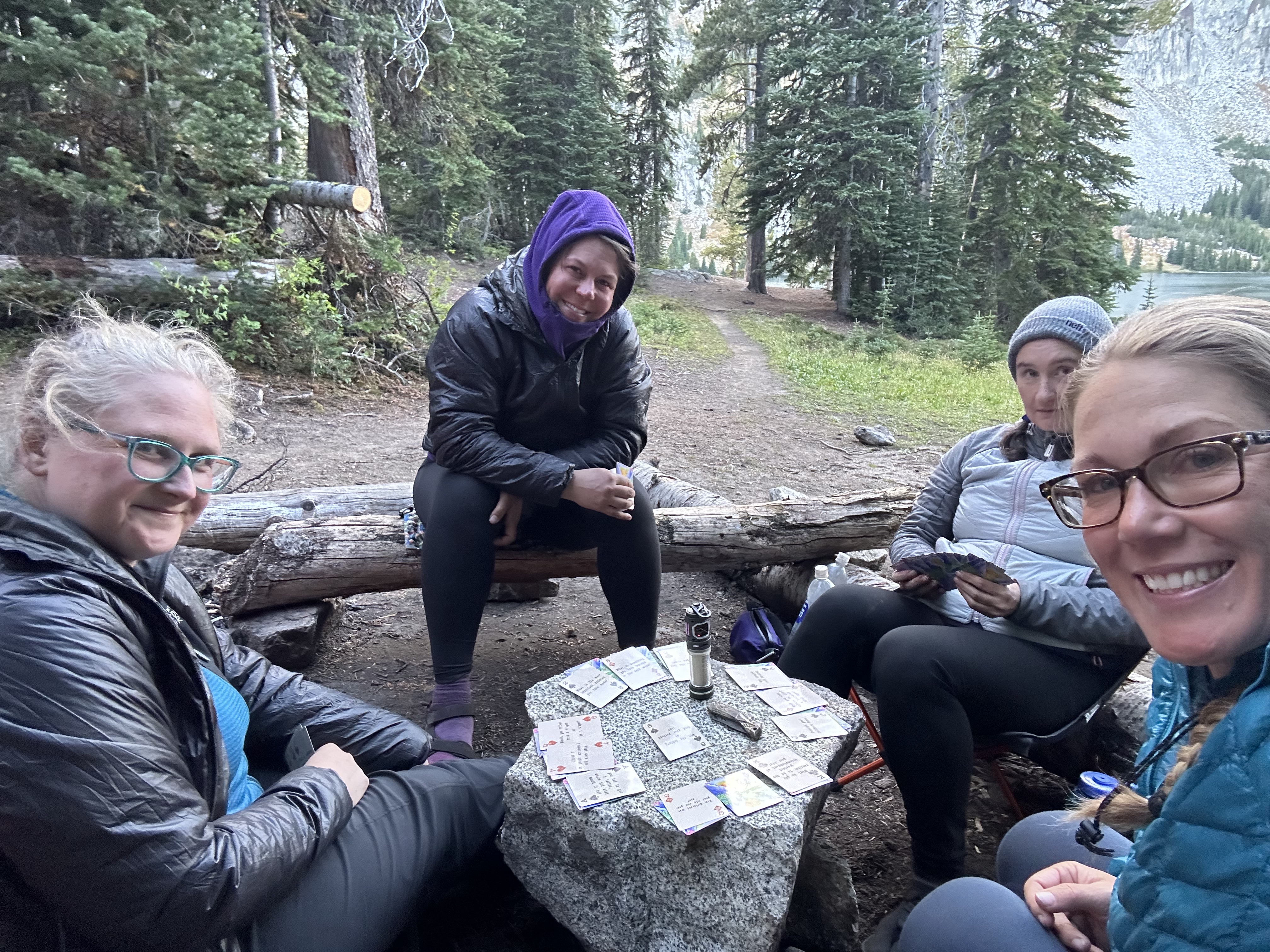
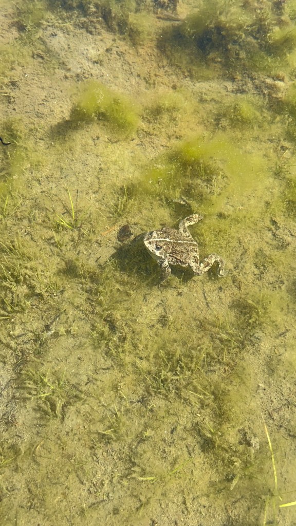
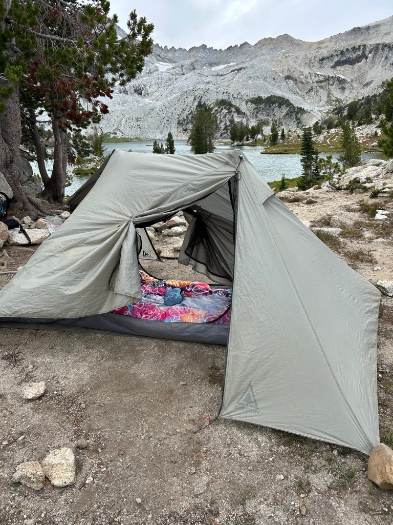
Day 4 was a lovely, lingering morning… we knew we only had a 2.5 mile hike down to Frazier Lake that day. We enjoyed our morning beverages with the view of Glacier Lake. We hoped it would warm up enough to swim, but alas… the elevation and wind was a bit too much. We took our tents down under the purview of a momma goat and her kid, and started our trek down the glacial valley toward our next destination. This days’ hike was short of miles, but long on views. With my background in geography, I have read about glacially carved valleys – but seeing such a perfect example in real life took my breath away. We finally made it to Frazier Lake, which turned out to be more like a frog pond than lake, and made our home for the evening. This lake was much shallower, and teaming with frogs and tadpoles… so instead of a swim, we enjoyed some card games in the waning light of the day.

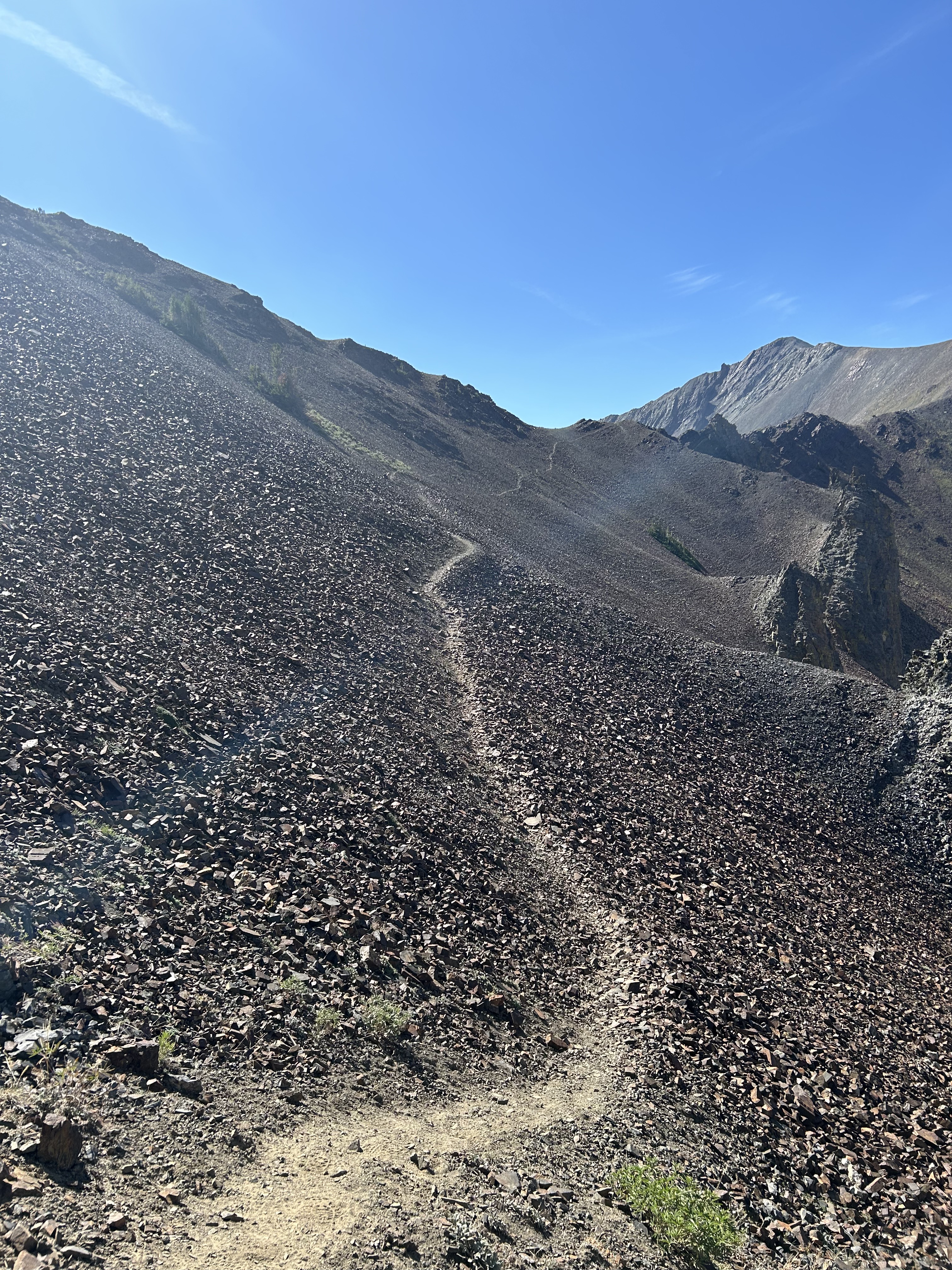
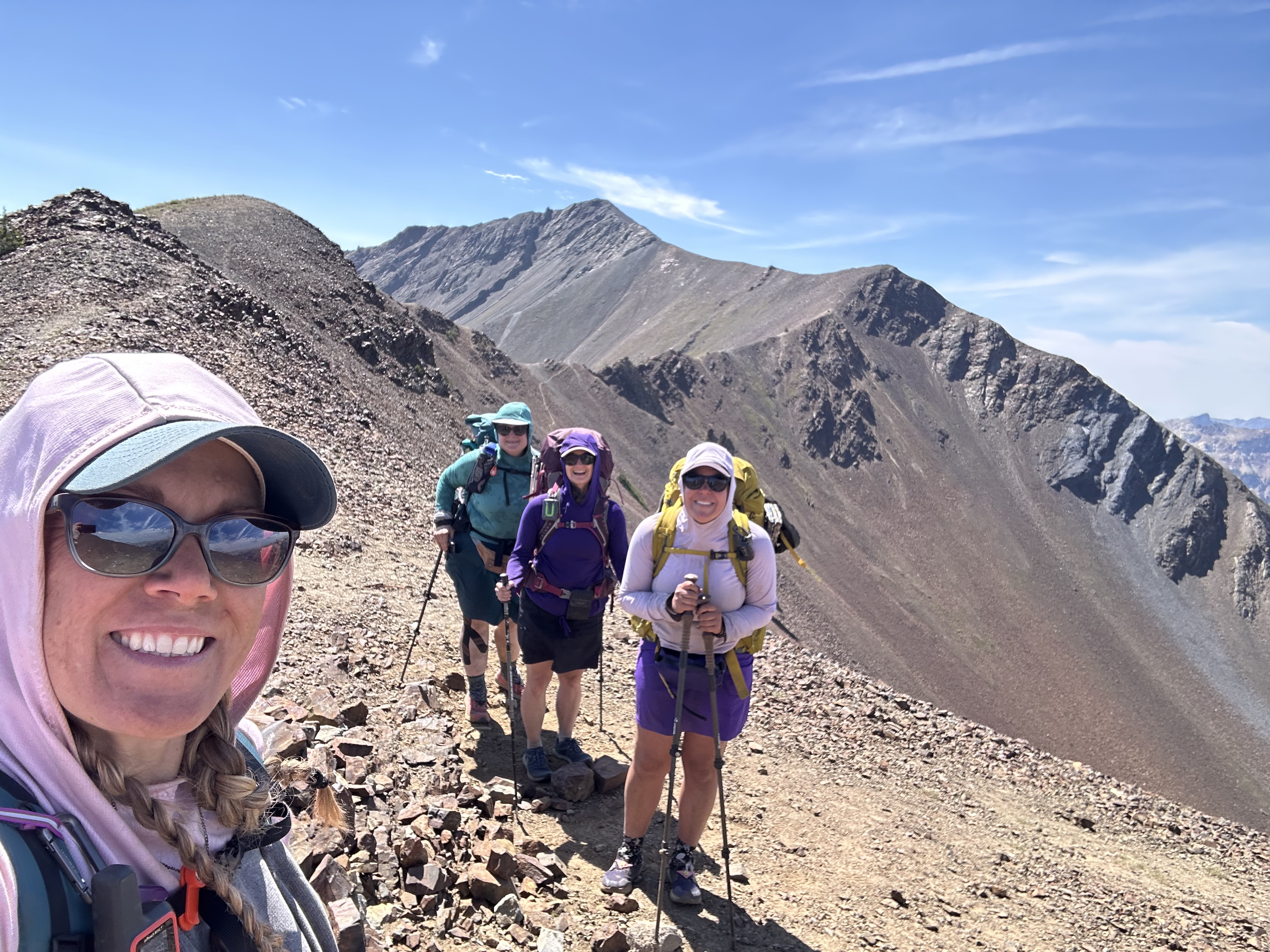
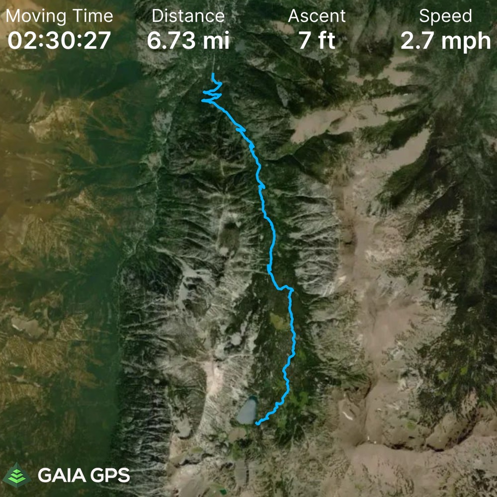
Day 5 was the day we tackled all 48 switchbacks of Polaris Pass, and for a total of just over 11 miles for the day. We had been religiously checking the weather to make sure it would be safe, and we knew where the last place was to fill up on water. We also knew where the turn off was to 6 mile meadow, in case we were having second thoughts about attempting the pass… but, in the end we all committed to making the climb, and set off with our full water bladders and pockets full of snacks to start the switchback countdown. The climb up Polaris Pass is pretty epic, with stunning views and tree line to skirt in and out of. Closer to the top, the area becomes a loose pile of scree, and extremely windy. It took your breath away in more ways than one… Thankfully, we all made it to the top where we had a short, but windy celebration, before heading down the other side toward Tenderfoot Pass. The backside of Polaris Pass was much hotter, dryer, and full of different flowers and buzzing insects. We made our way down and back up to Tenderfoot Pass (a much gentler pass than Polaris had been), and then all the way down to Aneroid Lake. We found ourselves a sweet campsite for the evening and made a mad dash for a final lake swim!

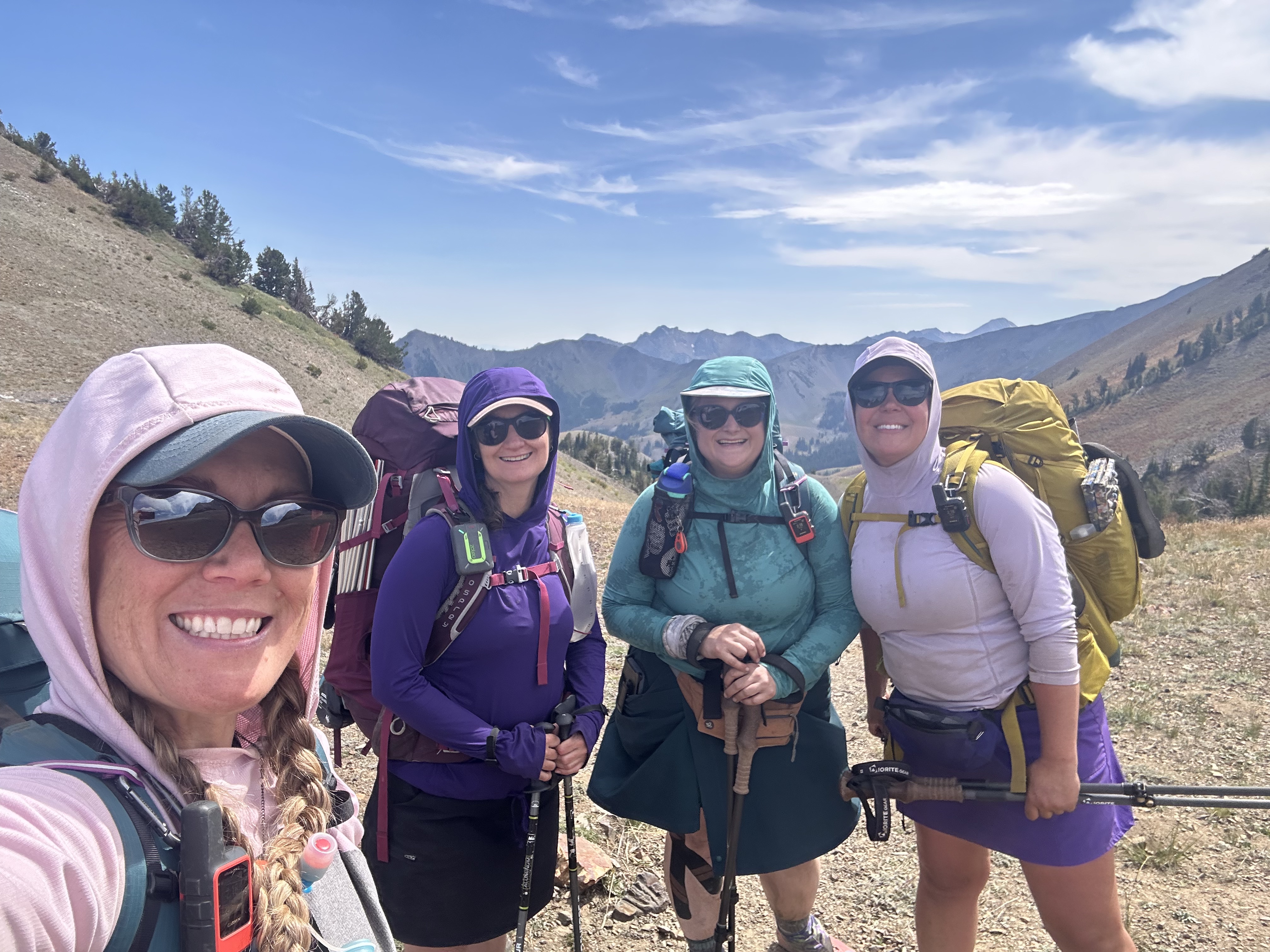
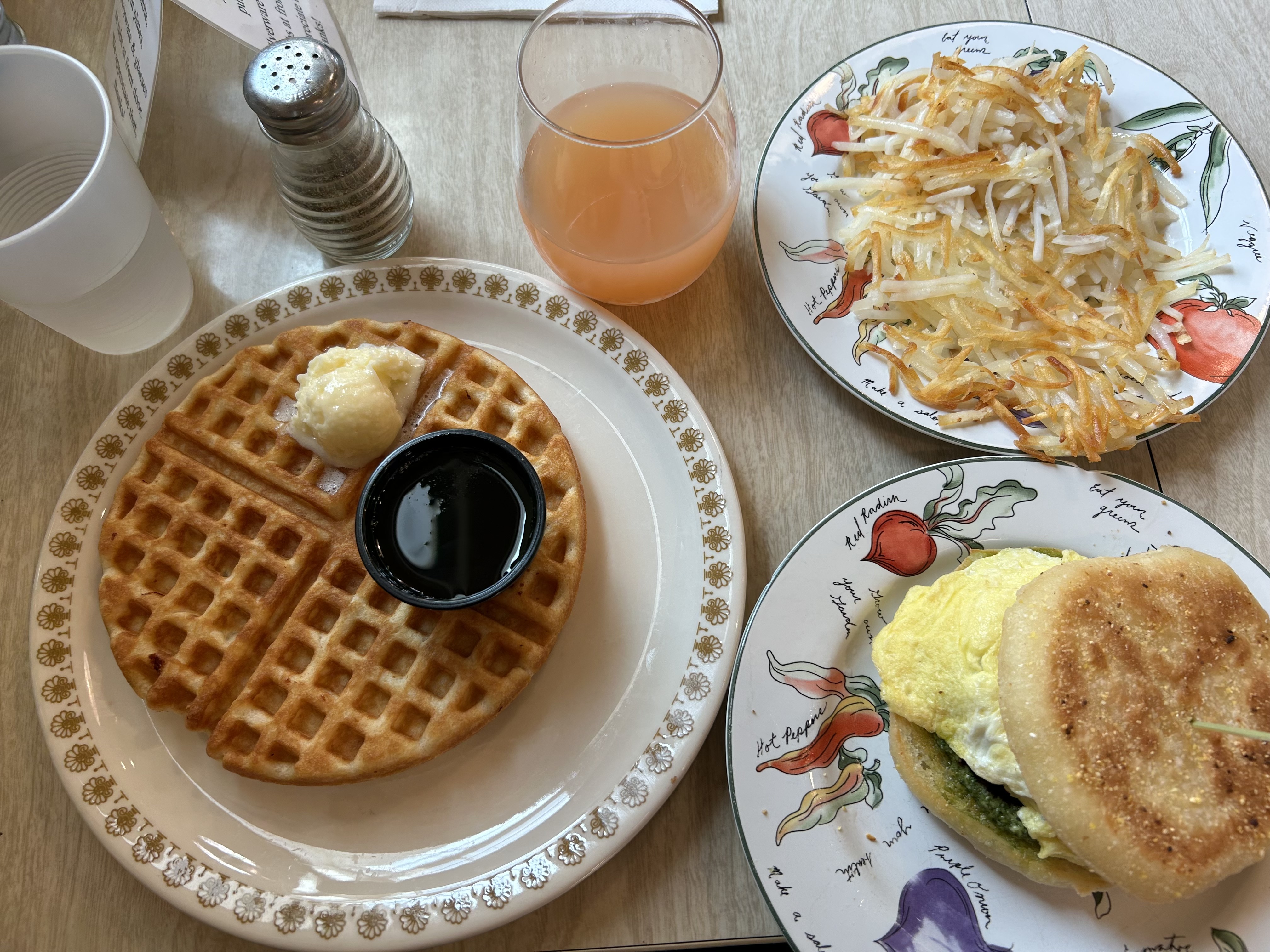
Day 6 was our last day on trail. We hiked about 6 miles, trending down till we got to where we started. This trail was a bit wider, as there are more horses that use this area, and we definitely started seeing day-hikers here. We made quick time, because I think we all had brunch on the brain. We made it to brunch at The Blythe Cricket, and ordered everything on the menu (not really, but we made a good dent) and within a few minutes the sky darkened and let loose an impressive thunderstorm! Good thing we were back in civilization again.
We enjoyed ourselves in the town of Joseph… shopping and eating our way through town. It’s a lovely place and I highly recommend you visit! They have year round recreational activities, and I plan on taking my family here sometime.
Links that helped me plan my trip:
- https://www.youtube.com/watch?v=fwfm2dFfMy0 (this is from my friend The Hungry Hiker on YouTube who joined me for this expedition and then made a video about our trip!)
- https://www.josephoregon.com/index.php/joseph-general-information/chief-joseph
- https://www.theoutbound.com/oregon/backpacking/backpack-wallowa-river-loop
- https://www.kevinfujii.com/backpacking-the-wallowa-river-loop
- https://www.oregonhikers.org/forum/viewtopic.php?t=28562
- https://www.wta.org/go-hiking/hikes/lakes-basin-loop-eagle-cap-wilderness
- https://www.cleverhiker.com/backpacking/wallowa-river-loop-backpacking-guide/
- https://eaglecapwilderness.com/
- https://www.erikastravels.com/wallowas-eagle-cap-wilderness-oregon/
- https://www.youtube.com/watch?v=Ano2CJ869ms (Hike Oregon)
- Interactive Map
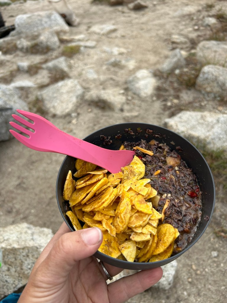
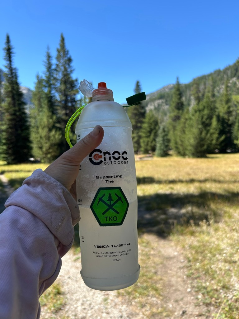

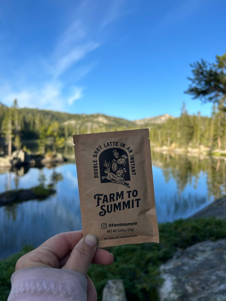
I am a brand ambassador for Farm to Summit dehydrated foods – feel free to use my code “Chevelle20” if you want to give them a try! I love their meals, and their lattes are my favorite way to start the day! https://farmtosummit.com/
I am a Backcountry Foodie Affiliate, I use their online program to meal plan and create yummy and healthy meals and snacks. If you are interested in a membership, I will receive a small commission if you use my link. https://backcountryfoodie.com/aff/63/


Leave a comment